


Zenmuse L3 vs L2 vs P1: LiDAR or Photogrammetry?
L3 is a long-range, high-output LiDAR system. L2 is the practical integrated LiDAR choice. P1 is a dedicated full-frame photogrammetry camera. The correct payload depends on vegetation, surface texture, project scale, aircraft ownership, Canadian altitude limits and the final deliverable your client will accept.
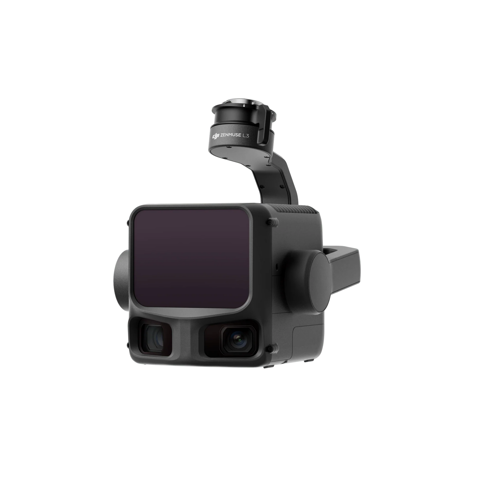
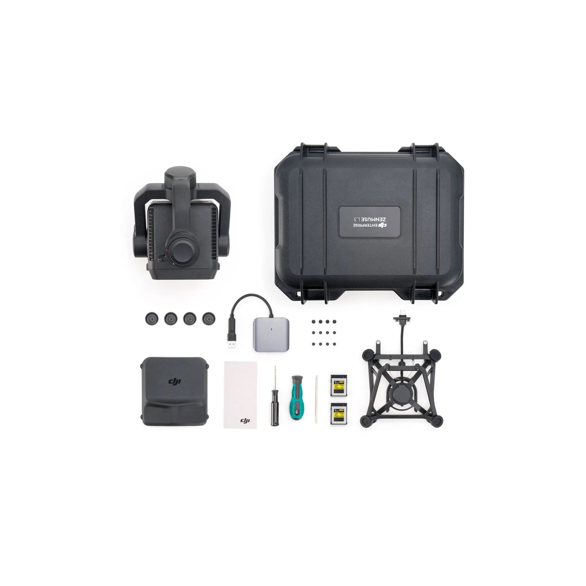
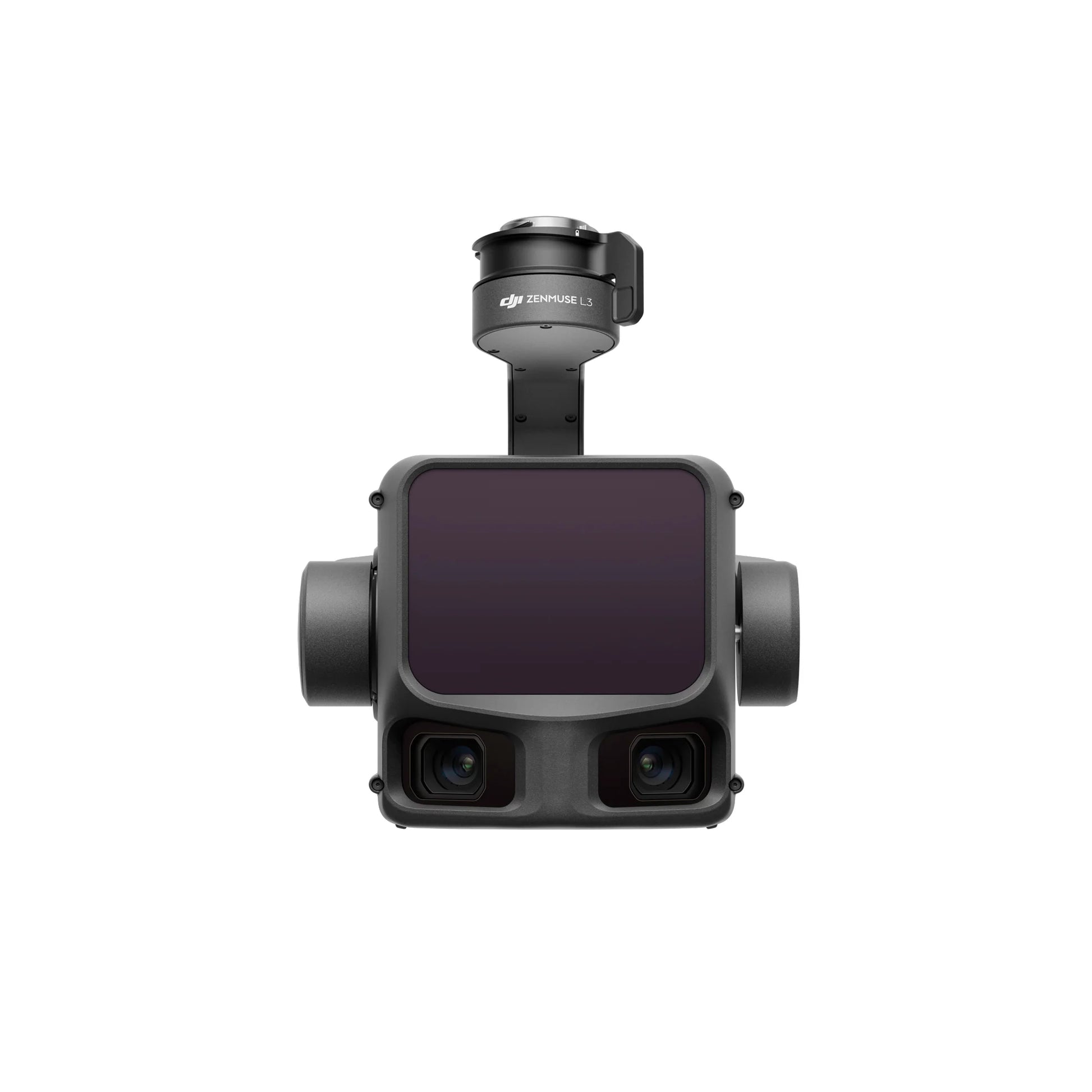
Zenmuse L3
1535 nm LiDAR, dual 100 MP RGB cameras, Matrice 400 only.
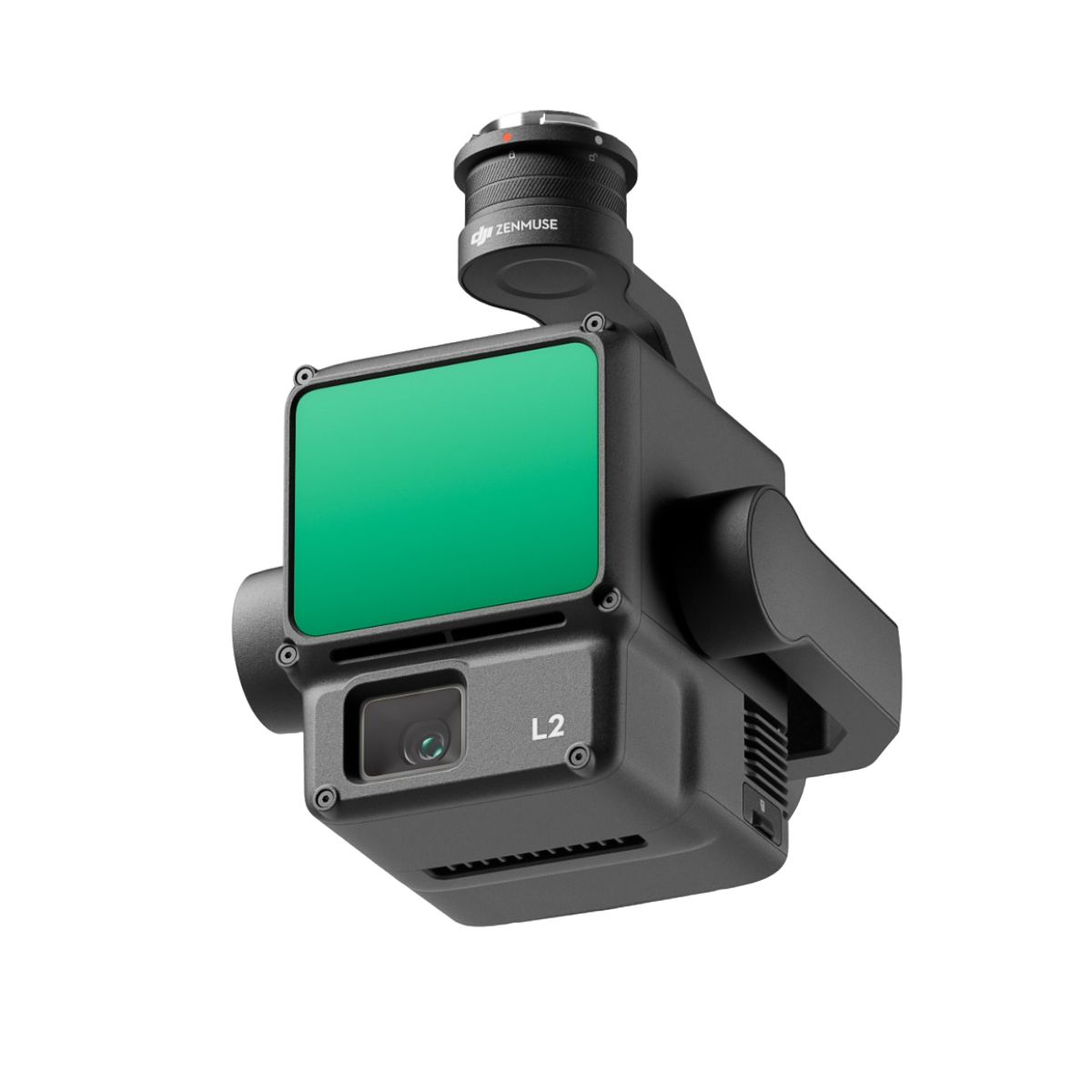
Zenmuse L2
905 nm LiDAR, 20 MP RGB camera, M300, M350 or M400.
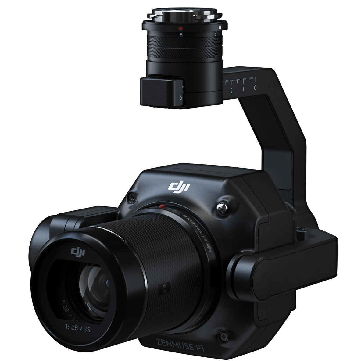
Zenmuse P1
45 MP full-frame photogrammetry with 24, 35 or 50 mm lens options.
Choose the deliverable before choosing the sensor.
Buy L3 for high-end LiDAR production, large corridors, utilities, dense vegetation and a new Matrice 400 workflow. Buy L2 when you need practical LiDAR and want to use M300, M350 or M400. Buy P1 when visible imagery, orthomosaics, oblique models and open-site photogrammetry are the priority.
For maximum LiDAR range and production scale.
- Forestry and terrain under vegetation.
- Long corridors and major utility projects.
- Power-line and small-object detection workflows.
- Up to 16 returns at supported pulse rates.
- Dual 100 MP RGB mapping cameras.
- Teams buying or already operating Matrice 400.
For balanced LiDAR cost and compatibility.
- Topographic mapping and construction terrain.
- Forestry, utilities and infrastructure management.
- Five-return vegetation workflows.
- Real-time point-cloud preview.
- Matrice 300, 350 or 400 fleets.
- Organizations that do not need L3 range or throughput.
For detailed visual mapping and photogrammetry.
- Orthomosaics and textured 3D models.
- Open construction sites and quarries.
- Facade and oblique reconstruction.
- 45 MP full-frame image quality.
- 24, 35 and 50 mm lens choices.
- Lower payload entry price than LiDAR.
They measure the world in different ways.
LiDAR emits laser pulses and measures their returns. Photogrammetry estimates geometry by matching the same visible features across many overlapping photographs. The difference affects vegetation, surface texture, lighting, processing and the kind of deliverable that can be defended.
Direct range measurements and multiple returns.
- Better access to terrain through gaps in vegetation.
- Works on many surfaces with limited visible texture.
- Useful for ground classification, DEMs and structural point clouds.
- Density and ground returns depend on scanning settings and canopy.
- Requires point-cloud processing and classification skill.
Rich colour, visible detail and textured reconstruction.
- Excellent orthomosaics and visual site records.
- Strong building, facade and open-ground models.
- Relies on overlap, sharp images and visible feature matching.
- Weak on uniform snow, water, reflective surfaces and dense canopy ground.
- Produces large image sets and compute-heavy reconstructions.
L3 and L2 collect LiDAR and RGB together.
- Colourize point clouds during the same mission.
- Support orthophoto or RGB reconstruction alongside terrain data.
- Reduce separate collection flights in suitable projects.
- L3's dual RGB system expands horizontal coverage.
- Integrated data still requires independent quality control.
Compare range, returns, cameras, accuracy and aircraft.
These are manufacturer test references. Accuracy depends on altitude, geometry, control, surface reflectivity, weather, RTK or PPK quality, calibration, processing settings and independent checkpoints.
| Category | Zenmuse L3 | Zenmuse L2 | Zenmuse P1 |
|---|---|---|---|
| Primary method | Long-range LiDAR plus dual RGB mapping cameras | Frame LiDAR plus one RGB mapping camera | Full-frame photogrammetry |
| Supported aircraft | Matrice 400 only; L3 single-gimbal connector required M400 only | Matrice 400, Matrice 350 RTK and Matrice 300 RTK with RC Plus | Matrice 400, Matrice 350 RTK and Matrice 300 RTK |
| Payload weight | 1.60 kg without the 145 g connector | 905 +/- 5 g | Approximately 800 g |
| Ingress rating | IP54 | IP54 | IP4X |
| LiDAR wavelength | 1535 nm | 905 nm | Not applicable |
| Detection range | 700 m at 10% reflectivity and 350 kHz; 950 m at 10% and 100 kHz; 2,000 m at 80% under stated tests | 250 m at 10% reflectivity in 100 klx; 450 m at 50% in 0 klx | Image footprint and GSD depend on lens and altitude |
| Pulse or capture rate | 100, 350, 1,000 or 2,000 kHz pulse settings | 240,000 pulses per second; up to 1.2 million points per second with multiple returns | Minimum photo interval 0.7 seconds |
| Returns | Up to 16 at supported 100 and 350 kHz modes Penetration leader | Up to five returns | Not applicable |
| Scanning modes | Linear, Star-Shaped and Non-Repetitive | Repetitive and Non-Repetitive | Nadir, oblique and Smart Oblique image capture |
| RGB camera | Dual 4/3 CMOS cameras, each supporting 100 MP or 25 MP | 4/3 CMOS, 20 MP, 24 mm equivalent, f/2.8-f/11 | Full-frame 45 MP with 24, 35 or 50 mm DJI DL lenses |
| Published system accuracy | At 120 m: 3 cm vertical and 4 cm horizontal RMSE; at 300 m: 5 cm vertical and 7.5 cm horizontal | At 150 m: 4 cm vertical and 5 cm horizontal with stated workflow | 3 cm horizontal and 5 cm vertical at 3 cm GSD under stated overlap and speed |
| Point-cloud thickness | 1.2 cm at 120 m and 2 cm at 300 m, 1 sigma under stated tests | Ranging accuracy reference of 2 cm at 150 m under stated conditions | Not applicable; assess image residuals, GSD, checkpoints and model quality |
| Published efficiency | Up to 10 km2 per flight and 100 km2 per day at 300 m under DJI's benchmark Canadian altitude caveat | Up to 2.5 km2 in one flight at 150 m under DJI's benchmark | Up to 3 km2 in one flight; 7.5 km2 per workday with Smart Oblique under DJI's benchmark |
| Best deliverables | Large LiDAR point clouds, terrain, corridors, forestry, utilities, DOM and DEM from combined acquisition | Topographic point clouds, DEM, ground classification, utility and forestry models, RGB colourization | Orthomosaics, textured meshes, oblique city or facade models, detailed visible-light mapping |
| Public SpeedyDrone payload price | CA$20,225 checked July 21, 2026 | From CA$18,099 SP Basic; other care options higher | CA$9,099; special order and lens configuration must be confirmed |
L3 is designed for scale, penetration and long stand-off acquisition.
L3 is the premium choice when project economics depend on corridor speed, dense terrain collection, wire detection, high-altitude capability in approved jurisdictions or completing LiDAR and high-resolution RGB capture together.
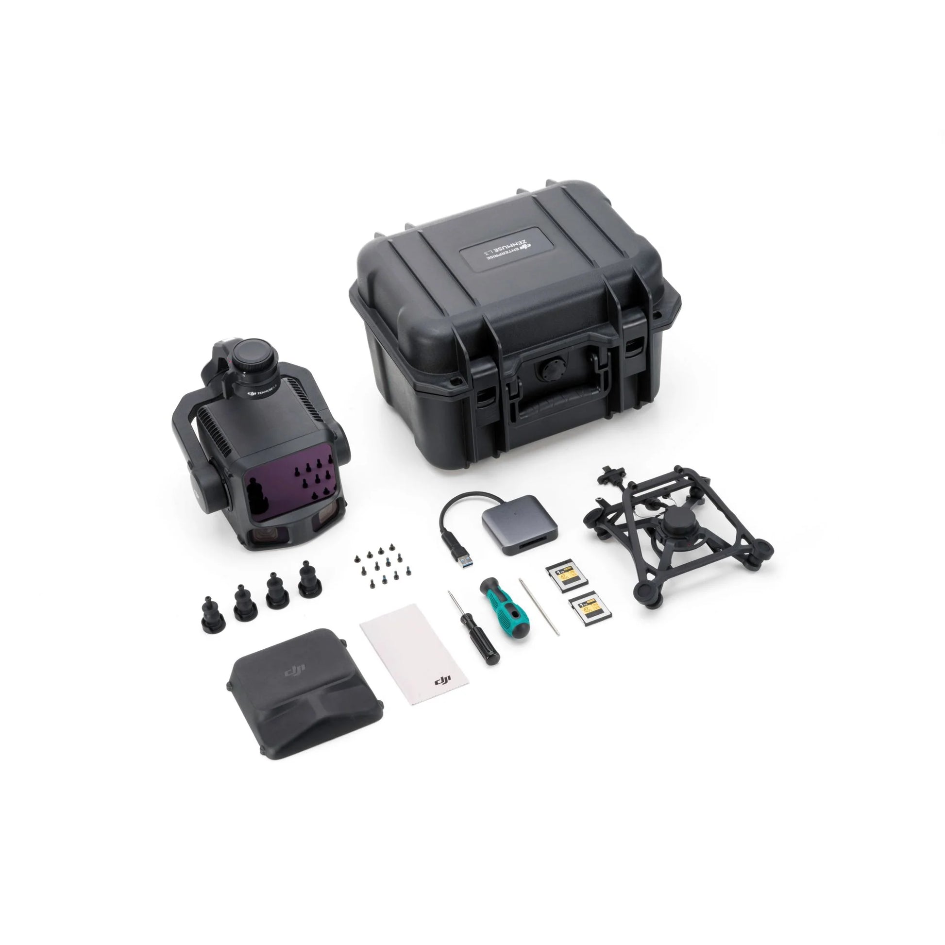
Range can improve coverage and stand-off options.
DJI publishes up to 950 m detection on a 10% reflective target under specific bright-light, atmospheric and incidence-angle conditions. Real range changes with the target and environment.
Collect broad colour coverage with the LiDAR mission.
The two 4/3 cameras provide a combined horizontal field of view of 107 degrees and support 100 MP or 25 MP image modes.
The productivity claim depends on altitude and project geometry.
The 100 km2 daily benchmark assumes a 300 m nadir mission, flat terrain, 20% side overlap, 17 m/s flight speed and six hours of effective flight time.
L3 requires Matrice 400.
The payload cannot be added to an existing M300 or M350 fleet. Evaluate aircraft, batteries, charger, connector, D-RTK 3, Terra and training as one system.
L2 is the practical LiDAR tool. P1 is the visual-detail specialist.
Both can run on M300, M350 or M400, which makes them attractive to teams that already own an enterprise aircraft. The deciding question is whether the project needs laser returns or image-based reconstruction.
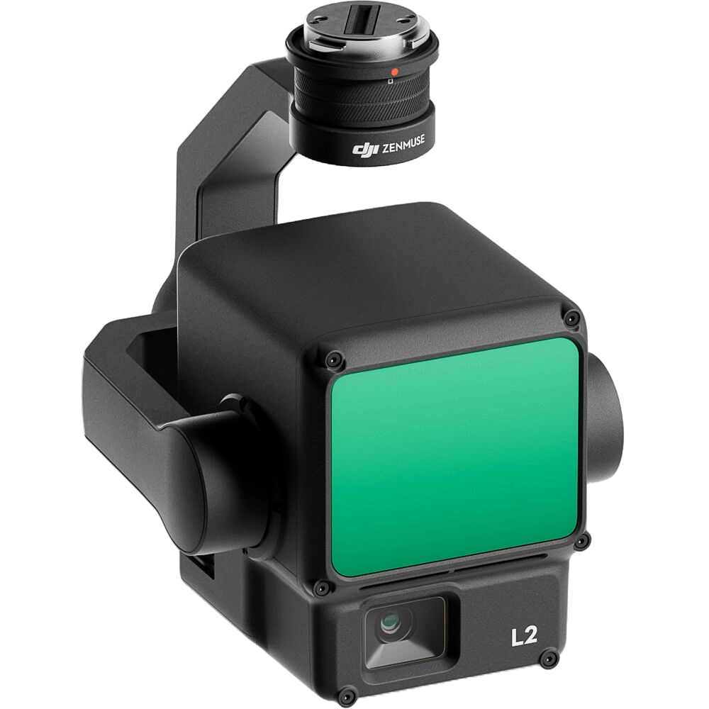
Turnkey LiDAR without a platform replacement.
L2 supports five returns, two scanning modes, real-time point-cloud preview and one-click processing in DJI Terra.
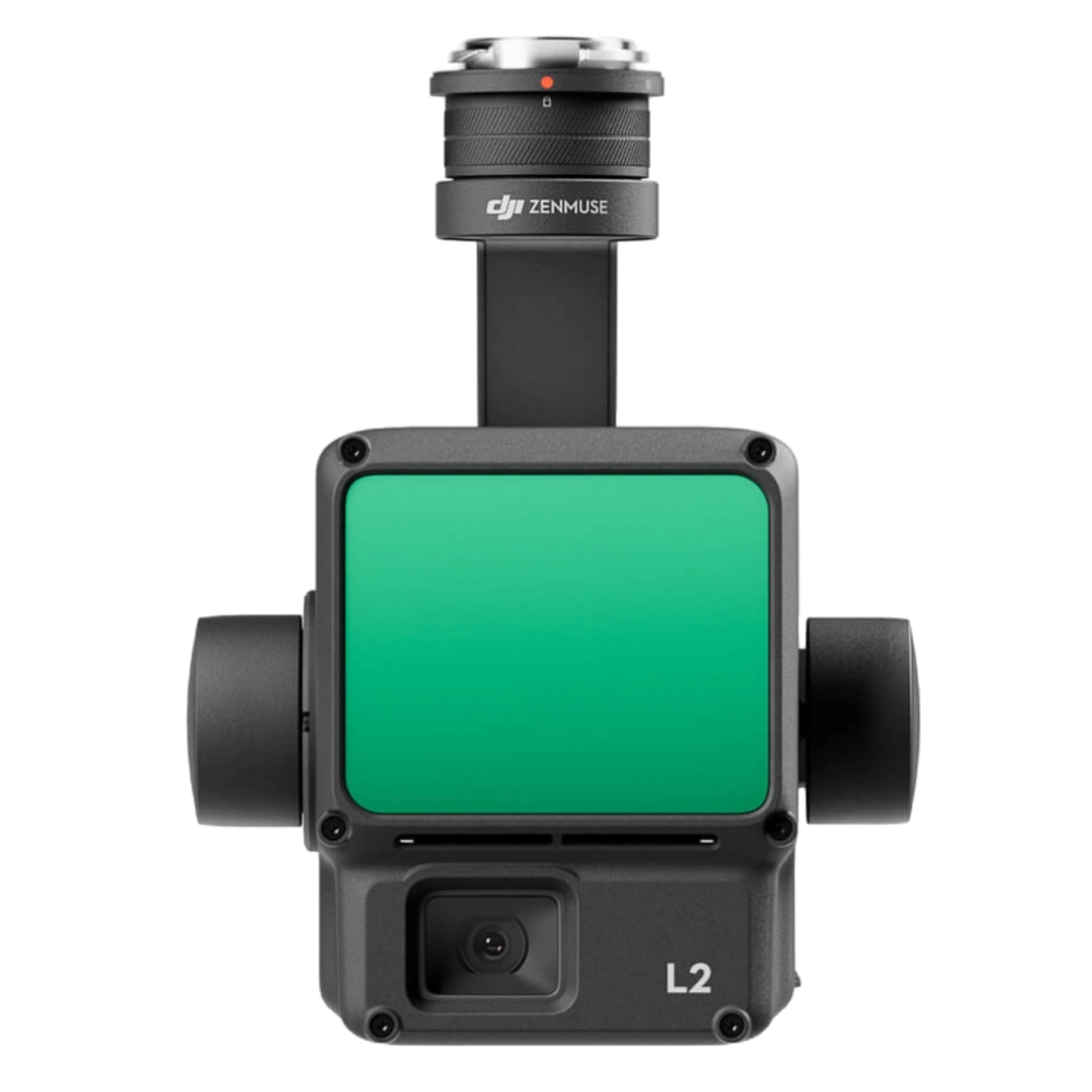
Strong for routine topography, forestry and infrastructure.
Its published 250 m bright-light range at 10% reflectivity and 2.5 km2 single-flight benchmark fit many Canadian VLOS projects, subject to altitude and airspace limits.
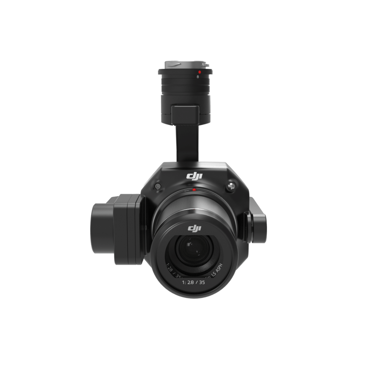
Full-frame imagery for high-detail reconstruction.
P1 combines a 45 MP full-frame sensor, global mechanical shutter, TimeSync 2.0 and fixed 24, 35 or 50 mm lens options.
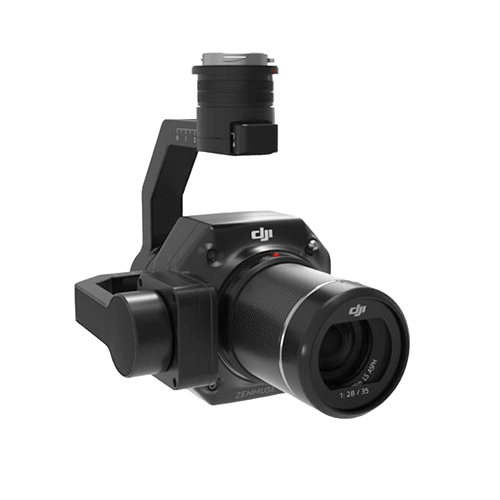
Capture the views required for 3D surfaces and facades.
The gimbal automatically changes angles and avoids unnecessary edge images, helping reduce collection and processing waste.
Match the payload to the terrain and the accepted deliverable.
The same site may justify different sensors in leaf-on and leaf-off seasons, or a combined LiDAR and photogrammetry program. Weather, access, snow, water, vegetation and client standards should be considered before quoting.
Maximize ground returns under canopy.
L3 offers the strongest range, smaller spot and return count. L2 remains viable when project size and density targets are moderate.
L3 firstBalance point-cloud quality and fleet cost.
L2 is often the practical choice for roads, drainage, parks and terrain when M350 or M400 compatibility matters.
L2Prioritize visual records and surface models.
P1 is strong for orthomosaics, meshes, progress documentation and visible open-ground surfaces. Use LiDAR when vegetation or complex geometry creates gaps.
P1 or mixedUse small-spot LiDAR and long-range planning.
L3 has the strongest published wire and branch detection references. L2 fits smaller or lower-cost corridor programs.
L3Capture detailed colour and oblique geometry.
P1's full-frame imagery and lens choices make it a strong photogrammetry tool. LiDAR can be added where occlusion and structural geometry require it.
P1 firstChoose based on exposed surface and vegetation.
P1 can be efficient on clean, textured surfaces. L2 may be more robust where vegetation, low texture or point-cloud classification matters.
P1 or L2Throughput can justify the premium platform.
L3 can reduce flight lines and increase stand-off, but Canadian altitude, VLOS, logistics and battery support must be built into the plan.
L3 with operation planNeither sensor removes the seasonal limitation.
LiDAR measures the visible snow surface rather than the ground below it. Uniform snow may also reduce photogrammetric texture. Plan the season around the required surface.
Seasonal strategyUse drone data inside a licensed survey workflow.
Payload accuracy does not authorize a company to establish legal boundaries. Coordinate with the provincial land-survey professional responsible for the final act.
Licensed oversightGlobal productivity benchmarks are not automatic Canadian mission plans.
DJI publishes L3 performance at 120, 300 and 500 m, L2 accuracy at 150 m and P1 examples at elevated altitudes. In Canada, routine Basic, Advanced and Level 1 Complex operations remain at or below 122 m AGL.
| Operation issue | Canadian requirement or planning point | Impact on surveying workflow |
|---|---|---|
| Aircraft category | Matrice 300, 350 and 400 systems remain small drones when operated at no more than 25 kg | Registration and at least a Basic certificate are required |
| Basic operation | VLOS, uncontrolled airspace, more than 30 m from uninvolved people and applicable aerodrome separation | Suitable for many rural projects when every condition is met |
| Advanced operation | Required when the mission uses controlled airspace, closer operations or other Advanced privileges | Verify pilot certificate, air traffic permission and aircraft Safety Assurance |
| EVLOS | Advanced certificate, trained visual observer, uncontrolled airspace and stated distance limits | May improve linear collection without becoming BVLOS |
| Lower-risk BVLOS | Level 1 Complex certificate, RPOC, eligible aircraft and geographic limits | Potential corridor benefit, but requires an organizational operating system |
| Above 122 m AGL | SFOC-RPAS required Special operation | L3's 300 m and 500 m global benchmarks cannot be copied into a routine Canadian quote |
Centimetre claims require a centimetre-quality workflow.
A precise payload can still produce an unacceptable deliverable when the coordinate system, base position, flight geometry, calibration or processing is wrong. Define acceptance before the aircraft leaves the case.
Define the deliverable.
DEM, classified LAS, orthomosaic, mesh, contour surface, corridor model, stockpile volume or visual record.
Set reference systems.
Document horizontal coordinate system, vertical datum, geoid model, units and project transformation.
Design control and checks.
Separate control points from independent checkpoints and place them to test the full project geometry.
Plan the sensor settings.
Choose altitude, speed, overlap, scan mode, pulse rate, return mode, lens and image interval from the specification.
Confirm RTK or PPK quality.
Verify FIX status, base coordinates, correction source, antenna setup and raw observations needed for recovery.
Inspect field data.
Review route completion, images, point-cloud gaps, IMU status, GNSS quality, exposure and task reports before leaving.
Process consistently.
Record Terra version, optimization, classification, coordinate settings, image settings and any manual edits.
Validate and report.
Calculate checkpoint residuals, document RMSE, identify exclusions and confirm the result against the client specification.
Owning a mapping payload does not authorize legal boundary work.
LiDAR, imagery, GNSS and point clouds are measurement tools. The authority to define, locate or certify property boundaries comes from provincial professional legislation, not equipment ownership.
Boundary surveys require an Ontario Land Surveyor.
Ontario's Surveys Act states that a survey made to define, locate or describe a parcel line, boundary or corner is not valid unless made by a licensed surveyor or under that surveyor's personal supervision.
- Drone data can support field evidence and topographic capture.
- Boundary opinions require documentary and field evidence beyond a point cloud.
- Registered or deposited plans must follow Ontario survey legislation and standards.
Reserved cadastral acts belong to the arpenteur-geometre.
The Ordre des arpenteurs-geometres du Quebec states that the arpenteur-geometre is the only professional authorized to perform acts reserved by provincial law, including work that establishes property limits.
- Drone mapping can support terrain and site documentation.
- Property limits, cadastral operations and reserved acts require the licensed professional.
- The project contract should identify who is responsible for the final legal deliverable.
The payload is only one part of the geospatial system.
Budget for mission planning, control, processing, workstation capacity, storage, backups, classification, CAD or GIS production and staff time.
Mission planning and field acquisition.
Area, linear, waypoint and sensor-specific mission tools control route geometry, IMU calibration and collection.
Field softwareBase, rover and control workflow.
Use base-station mode for corrections or rover mode with a pole and tripod to collect project control and checkpoints.
Positioning systemPoint clouds, photogrammetry and accuracy checks.
Process L3 and L2 LiDAR, P1 imagery, DEMs, models, point-cloud classification and quality reports.
Core processingClean and repair model presentation.
Use model-editing tools where floating objects, holes or reconstruction artifacts need controlled cleanup.
Model refinementTurn sensor data into client deliverables.
Classification, breaklines, contours, corridor assets, volumes, features and reports may require specialized third-party software.
Production stackPlan for the data volume.
Large LiDAR and image projects require fast local storage, backups, adequate RAM and GPU or CPU performance for the chosen software.
InfrastructureCompare the complete system, not only the payload.
Public SpeedyDrone references were checked July 21, 2026. Final quotes should confirm Enterprise Care, lens, connector, aircraft, batteries, charging, RTK, software, training, tax and availability.
Premium LiDAR payload.
- Matrice 400 required.
- L3 single-gimbal connector required.
- Evaluate D-RTK 3 and DJI Terra.
- Best when range, scale and high-output work justify the platform.
- Matrice 400 public package references start separately.
Practical integrated LiDAR.
- SP Basic public option: CA$18,099.
- SP 2 Year public option: CA$18,925.
- SP Plus public option: CA$19,745.
- Compatible with M300, M350 and M400.
- Strong fit when existing aircraft can be retained.
Dedicated photogrammetry payload.
- Special-order item.
- Confirm 24, 35 or 50 mm lens and final package.
- Compatible with M300, M350 and M400.
- Lower payload cost than LiDAR.
- Best for visual mapping and image-based reconstruction.
| Additional system item | Public SpeedyDrone reference | Why it matters |
|---|---|---|
| Matrice 400 SP Plus Combo | CA$10,479 | Core L3 aircraft platform; battery-station and full-package contents vary by package |
| Matrice 400 SP Plus Full Package | CA$14,099 | Includes aircraft, RC Plus 2 Enterprise Enhanced, Care, BS100 station and one TB100 battery in the public listing |
| D-RTK 3 Multifunctional Station | CA$2,205 | Base, relay or rover workflow for positioning and control |
| D-RTK 3 pole and tripod kit | CA$619 | Stable base setup or rover control-point collection |
| DJI Terra Standard | CA$2,325 perpetual public reference | Confirm that the edition supports the required LiDAR and reconstruction workflow |
| DJI Terra Flagship | CA$4,645 perpetual public reference | Advanced processing option; confirm features and current licence terms |
The upgrade is justified when it changes the production model.
L3 is not simply a slightly better L2, and P1 is not a lower-cost LiDAR substitute. Each payload is built around a different source of project value.
Start with L2 when practical LiDAR is the need.
Retaining the aircraft platform can materially reduce deployment cost, retraining and battery logistics.
L2Build L3 and M400 as one system.
Choose L3 when large corridors, forestry, utilities or premium LiDAR throughput support the full platform investment.
L3 + M400Use P1 for visual accuracy and reconstruction.
P1 remains a focused tool for orthos, oblique capture, facades, detailed colour and open-site photogrammetry.
P1Plan two sensors or one integrated collection strategy.
Combine P1 with L2 where dedicated image quality is required, or use L3's LiDAR and dual RGB system when one-flight efficiency is more valuable.
Hybrid workflowValidate projects before buying the premium payload.
Start with rental, subcontracting, demonstration or sample-data processing if annual LiDAR demand is not established.
Assessment firstPut the licensed survey workflow first.
Select the sensor with the professional responsible for control, evidence, boundary interpretation and the final legal deliverable.
Professional oversightZenmuse L3, L2 and P1 questions answered.
What is the main difference between Zenmuse L3, L2 and P1?
Zenmuse L3 and L2 are integrated LiDAR payloads that also include RGB mapping cameras. P1 is a full-frame photogrammetry camera. LiDAR directly measures laser returns and is useful for terrain, vegetation and structural point clouds. Photogrammetry reconstructs surfaces from overlapping photographs and is strongest for detailed orthomosaics, textured 3D models and visible features.
Which is better for Canadian forestry: L3 or L2?
L3 is the stronger high-end forestry choice when deeper penetration, a smaller laser spot, up to 16 returns, longer range and large-area efficiency justify a Matrice 400 system. L2 remains a practical value choice for forestry, topography and vegetation work using Matrice 300 RTK, Matrice 350 RTK or Matrice 400.
Can Zenmuse L3 or L2 see through trees?
LiDAR does not literally see through solid vegetation. Some laser pulses pass through gaps in leaves and branches and return from lower vegetation or the ground. Ground-return completeness changes with canopy density, leaf-on or leaf-off conditions, pulse rate, scanning mode, altitude, flight direction, overlap and surface reflectivity.
When is Zenmuse P1 better than LiDAR?
P1 is often better when the deliverable prioritizes high-resolution colour imagery, orthomosaics, textured 3D models, facade reconstruction, open-site mapping or visual documentation. It is also substantially less expensive as a payload than L2 or L3, although the final system still requires an aircraft, lens, control, processing and validation workflow.
Does Zenmuse L3 replace Zenmuse P1?
No. L3 combines LiDAR with dual 100 MP RGB cameras and can generate several deliverables in one mission, but P1 remains a dedicated full-frame photogrammetry tool with interchangeable 24 mm, 35 mm and 50 mm lenses, Smart Oblique Capture and highly detailed image-based reconstruction.
Which payload is best for construction and stockpiles?
P1 is strong for visible, open and textured sites where orthomosaics, meshes and volume surfaces are required. L2 is useful when terrain, vegetation, complex geometry or point-cloud classification matter. L3 is best when the project is larger, more demanding or requires higher range, density, penetration and corridor efficiency.
Can the L3 100 square kilometre daily coverage claim be used for normal Canadian missions?
Not automatically. DJI's benchmark assumes flat terrain, 300 m altitude, 20 percent side overlap, 17 m/s flight speed and six hours of effective flight time. In Canada, routine Basic, Advanced and Level 1 Complex operations are generally limited to 122 m or 400 feet AGL. Flying above 122 m requires an SFOC-RPAS.
Which aircraft support L3, L2 and P1?
L3 supports Matrice 400 only and requires the Zenmuse L3 single-gimbal connector. L2 supports Matrice 400, Matrice 350 RTK and Matrice 300 RTK, with DJI RC Plus required for Matrice 300 RTK. P1 supports Matrice 400, Matrice 350 RTK and Matrice 300 RTK.
Do I still need ground control points or checkpoints with RTK?
RTK or PPK can reduce control requirements, but an independent quality-control plan is still important. The project should define the coordinate system, vertical datum, control method, checkpoints, expected accuracy, residual limits and acceptance criteria before flying. Manufacturer accuracy figures are not substitutes for project validation.
Can drone data establish a legal property boundary in Canada?
Not by itself. Drone data can support field measurement and mapping, but legal boundary work is regulated provincially. Ontario law requires boundary surveys to be made by or under the personal supervision of an Ontario Land Surveyor. In Quebec, reserved land-survey acts must be performed by an arpenteur-geometre.
Which payload is best for power lines and utility corridors?
L3 is the strongest specification fit for major corridor and wire-focused work because DJI publishes long-range performance, a smaller laser spot, up to 16 returns and tested wire-detection references. L2 remains suitable for many utility and line-modelling projects when the shorter range and lower system cost meet the deliverable.
What software is required?
DJI Pilot 2 is used for mission planning and field acquisition. DJI Terra is the primary processing environment for L3, L2 and P1 data. DJI Modify can support model cleanup, while D-RTK 3 can serve as a base or rover for control and positioning workflows. Third-party GIS, CAD and point-cloud software may also be required for final deliverables.
How much do Zenmuse L3, L2 and P1 cost in Canada?
Public SpeedyDrone prices checked July 21, 2026 listed L3 at CAD 20,225, L2 from CAD 18,099 with the SP Basic option, and P1 at CAD 9,099. P1 is a special-order item and the required lens and final package should be confirmed. Prices, care plans, inventory and taxes can change.
Verify current specifications, rules and package contents.
Send the deliverable, terrain and annual project volume.
Include the province, project area, terrain, vegetation, required accuracy, point density or GSD, coordinate system, existing aircraft, preferred outputs, annual utilization and intended flight category. SpeedyDrone can prepare an L3, L2 or P1 system assessment, software plan, Canadian quote, financing review, training pathway or Toronto demonstration.


