


Before buying a professional drone in Canada, define the job and check where it will happen. The site and airspace can change the pilot, aircraft configuration, permissions, software and start date—even when the required camera has not changed.
A mapping request does not yet specify a complete mapping system. A thermal camera does not establish an inspection plan. A farm address does not settle the operating requirements. Equipment selection works best when those questions are considered together.
For construction, municipal, inspection and agricultural teams. Regulatory sources checked 6 October 2026; verify current requirements for the specific operation.

Why airspace should be checked before equipment is finalized
Imagine an organization that has approved a drone budget and booked its first capture day. Only then does the pilot receive the site coordinates. If the operation needs additional coordination, a different flight method or a different aircraft safety declaration, the project may need to be redesigned after money and dates have already been committed.
That does not mean controlled airspace automatically stops a purchase. It means airspace is a design input. A project can sometimes proceed with a qualified pilot, an appropriate aircraft and authorization. Another may need a smaller operating area, a different schedule, specialist support or a different approach altogether. The answer comes from the proposed operation, not the product name.
For applicable RPAS operations, Canadian Aviation Regulations section 901.27 requires a pilot's site survey before commencing the operation. Its factors include airspace and NOTAM requirements, nearby aircraft operations and aerodromes, obstacles, weather and the relevant distances from people or populated areas. A procurement-stage check helps identify these issues early; it does not replace that survey.
The useful buying question is therefore not simply “Can this aircraft map?” It is “Can our proposed team use this configuration to collect the required information at our actual sites, within the operating conditions and time available?”
- MissionWhat work needs doing?
- LocationWhich exact site or field?
- Operating environmentAirspace, access, people, hazards
- Required outputWhat must the result support?
- Pilot and authorizationWho can conduct this operation?
- Aircraft and payloadWhich configuration fits?
- SoftwareHow will the output be used?
- DeploymentPeople, readiness and verification
Start with the mission—and the decision it needs to support
“We need a drone” is too broad for a useful configuration brief. Start with the work, the person who will use the result and the consequence of getting that result wrong. A photograph for a progress meeting and a dataset for engineering measurements are different deliverables, even if both come from the same construction site.
Explore by task: use the linked guides below for the detailed workflow. This resource connects the decisions they share: where you can operate, which people and aircraft configuration fit, and what must be ready before the first capture date.
| Mission | Required output or result | What to clarify first |
|---|---|---|
| Construction mappingConstruction drone program guide | Progress photographs, orthomosaic or site model | Area, accuracy requirement, repeat frequency, coordinate system and processing responsibility |
| Building inspectionMapping, inspection and progress planning | Visible-detail or thermal records | Asset surfaces, stand-off distance, access, people and who will interpret findings |
| Municipal GISMunicipal capture-to-GIS workflow | Orthomosaic, point cloud or GIS-ready files | Required formats, reference system, acceptance checks and the receiving department |
| Utility inspection | Asset-linked visual or thermal evidence | Asset type, operating corridor, repeat visits, safety coordination and reporting needs |
| Remote monitoring | Recurring observations and task records | Installation site, connectivity, power, flight method and accountable personnel |
| Crop scoutingCrop-scouting workflow | RGB or multispectral maps and ground-check locations | Crop question, repeat capture, field access, processing and agronomic review |
| SprayingAgricultural deployment preparation | An application task with appropriate records | Crop, product and label, field, operating weight, people and application requirements |
| SpreadingField equipment and deployment planning | Distribution of a specified suitable material | Material, task area, ground access, loading, refill and battery workflow |
Give the output an acceptance test. For a monthly progress record, that might be coverage of the agreed areas and consistent viewpoints. For a GIS delivery, it might include a named file format and coordinate reference system. For an inspection, it might be sufficient detail to identify the asset and direct a follow-up visit. Agree the test with the receiving team rather than assuming that a high-resolution camera settles it.
Accuracy also needs a definition. State whether the task needs visual context, relative comparison or verified measurements. If a survey or engineering deliverable has professional requirements, identify the qualified reviewer and validation method. Positioning specifications alone are not a guarantee that the finished dataset will satisfy the project.
The same drone can require different planning at different sites
A rural construction project and an urban building site might both request an orthomosaic. They could use the same mapping aircraft, yet differ in nearby aerodromes, airspace, uninvolved people, obstacles and available launch positions. The equipment shortlist may remain similar while the personnel, permissions and capture plan change substantially.
Start with the actual operating footprint, not just the nearest town. Include the intended flight area, approximate working height, launch and recovery locations, nearby structures and any part of the route beyond the immediate asset. A street address can help with an initial discussion, but it is not a complete description of the flight.
Do not treat “rural” as a substitute for checking. A field can sit near an aerodrome or have temporary restrictions and other aviation activity. A site that appears open from the ground may still have relevant airspace conditions. Conversely, an urban address does not by itself identify the precise permissions required.
The ground environment matters too. Can the team get permission to access the property? Is there a safe place to work, charge batteries and recover an aircraft? Will site vehicles, livestock, workers or the public enter the area? A usable aviation plan and a usable ground-work plan need to meet at the same location.
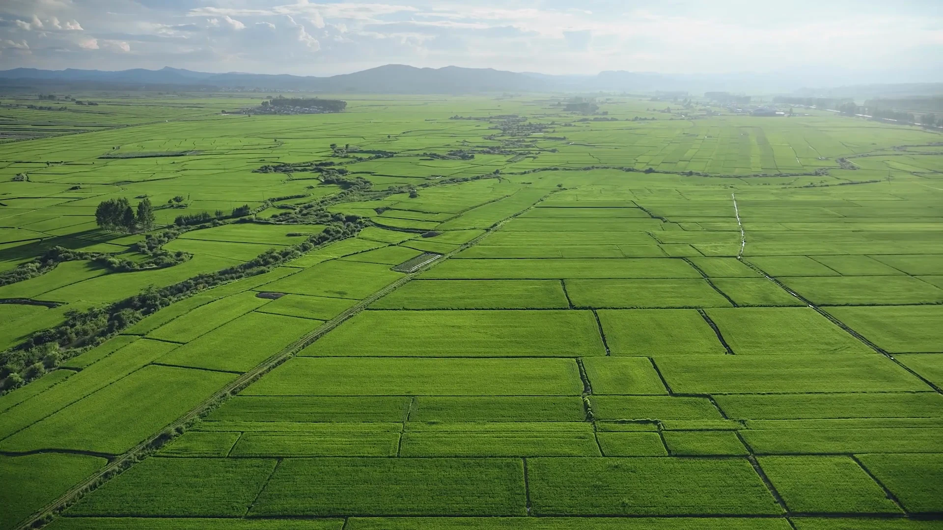
Agricultural use does not determine the operation category
Transport Canada's operation categories depend on what is flown, how it is flown and where it is flown. Operating weight includes attached or carried equipment. Small drones weigh at least 250 g and no more than 25 kg; medium drones weigh over 25 kg and no more than 150 kg; large drones weigh over 150 kg.
That makes the configured, flight-ready aircraft important. An imaging task and a loaded application task should not be grouped together just because both happen on a farm. Neither the crop nor the aircraft's marketing category establishes the pilot privileges and operating conditions.
Use the Canadian agricultural deployment preparation guide for the field-specific brief. Record the proposed configuration and material, not only the model. If those are undecided, list the unknowns so the configuration discussion can address them.
Determine the pilot and authorization requirements for the operation
Once the mission and site are understood, check whether the proposed pilot has the required privileges and practical competence. A certificate and familiarity with a consumer drone are not the same thing as competence in the selected aircraft, payload, mission procedure and emergency response.
Under the current framework, Advanced operations can include controlled-airspace flying with permission from air traffic control and the applicable aircraft safety requirements. Medium-drone VLOS operations are Advanced or beyond. Do not reduce every professional project to “get an Advanced certificate and you are ready.”
Specified lower-risk BVLOS operations fall under Level 1 Complex, with geographic, airspace and aircraft conditions. These operations require the appropriate pilot certificate and operation under an RPAS Operator Certificate. Operations outside the permitted framework can require an SFOC-RPAS; verify the applicable route rather than assuming that a remote mission qualifies.
An RPAS Operator Certificate also introduces organizational responsibilities, including an accountable executive, maintenance responsibility, training, standard operating procedures and safety-risk management. Those are staffing and management inputs for procurement, not software features that arrive in a box.
For an internal team, separate certificate preparation from equipment and workflow training. Decide who can release a mission, who checks the aircraft, who reviews the output and who handles an abnormal event. For contracted flying, obtain enough information to confirm that the provider's proposed operating arrangement fits the task. Outsourcing does not remove the buyer's need to describe the site and deliverable accurately.
Select equipment for the output, then verify operational fit
Airspace does not choose the camera. The mission defines the sensing or application requirement; the proposed operation determines whether the complete configuration is suitable. Keep both tests in the purchasing discussion. The following are equipment roles, not a ranking or a recommendation that every organization needs all of them.
Mapping and survey-data collection
DJI Matrice 4E is a compact geospatial platform for mapping and construction work. It belongs in a discussion about repeat capture, processing and output requirements. Before finalizing it, confirm how the team will establish and check the required accuracy, how the files reach the receiving software and whether the configured aircraft meets the relevant operational requirements.
Visible and thermal inspection
DJI Matrice 4T provides visible and thermal sensing for inspection-oriented tasks. First identify what the operator needs to observe and what the reviewer needs to conclude. Capture distance, viewing angle and environmental conditions belong in that discussion. Thermal imagery can support an investigation; a camera does not supply a qualified interpretation or turn every apparent hot spot into a confirmed fault.
Payload-based enterprise missions
A larger platform such as DJI Matrice 400 should be specified with its intended payload and supporting workflow. SpeedyDrone's Matrice 400 SP Plus Combo is an equipment starting point, not a definition of the project's sensor, output or permissions. Confirm payload compatibility, configured weight, field support and processing requirements together. Buying the carrier before settling the payload can leave the most important data question unanswered.
Agricultural imagery
The Mavic 3 Multispectral (M3M) combines RGB and multispectral capture. Its role is information collection for a crop-monitoring workflow. Decide who processes the imagery, who reviews field variation and who conducts ground checks. It is not an application aircraft, and an index map is not a diagnosis or treatment prescription.
Application and spreading
An Agras system serves a physical field task rather than only an imaging deliverable. The DJI Agras T50 Pro Package (3 Batteries) is one current SpeedyDrone offer for the T50 platform. Specify the spraying or spreading configuration, material and ground workflow separately; do not infer every attachment or service from the package name.
For pesticide application, aviation compliance is only one part of the decision. Health Canada's SPN2026-02 permits eligible registered aerial-use products to be applied by RPAS subject to the policy and label. It does not permit every chemical or use. Verify the exact crop, product, label conditions, provincial or territorial requirements, personnel and handling arrangements before scheduling an application. This resource does not prescribe chemicals, rates or flight settings.
Use NAV Drone during scoping—not just before takeoff
The buyer's first site check, the configuration review and the pilot's formal operation planning have different purposes. Keeping them separate prevents an early feasibility screen from becoming an assumed permission.
-
Early feasibility
Start with the proposed footprint and height, not a city name. Identify the relevant airspace authority and record unresolved access, people and nearby-aviation questions. The output is a feasibility brief with dependencies—not permission to fly or a promised first mission date.
-
Configuration review
Review the intended flight method, operating weight and people distances alongside the site. Match them to pilot privileges and applicable aircraft safety assurance. Record any change needed in the configuration, crew or operating area before treating the equipment quotation as final.
-
Formal flight planning
The responsible pilot completes the applicable site survey, current NOTAM checks and permission requests for the defined operation. Keep issued conditions with the mission plan. A change in route, height, timing or aircraft can require revisiting the affected checks; early feasibility does not replace them.
NAV CANADA's permission-request guidance explains NAV Drone validation and its controlled-airspace workflow. Depending on the operation, requests can be automatic or require manual review. Build coordination into the project schedule without promising a universal turnaround.
For small RPAS in Advanced VLOS operations, a submitted request can be authorized automatically when its height is at or below every overlapping grid threshold. Exceeding any threshold requires manual review. Medium RPAS Advanced VLOS requests require manual review. A different aircraft weight class can therefore change the coordination path even when the task and site are unchanged.
NAV Drone does not obtain permissions from every authority. NAV CANADA identifies other bodies, including DND, airport and prison authorities and Parks Canada, that may require direct coordination. A positive validation result is not a substitute for those permissions or for landowner and site access.
Footprint + height + flight method + configured weight + people + intended dates.
↓ Which airspace and authority affect that footprint?
-
NAV CANADA-controlled airspace
Request authorization through NAV Drone. Determine whether the defined operation follows the automatic or manual route.
-
Uncontrolled airspace
Check the complete operation-category conditions and nearby aviation activity. “Uncontrolled” does not by itself mean Basic.
-
Another authority or restriction
Identify the responsible body and coordinate directly where required. NAV Drone does not grant every permission.
↓ On the relevant path, verify both requirements
-
Pilot and operator fit
Confirm the required privileges and operating arrangement. Lower-risk BVLOS under Level 1 Complex needs the corresponding pilot certificate and RPOC, within its permitted conditions.
-
Aircraft safety assurance
Verify the declarations or other safety requirements applicable to the exact operation and configuration. A suitable camera is not proof of operating eligibility.
↓ Are the requirements and permissions satisfied?
-
No / unresolved → revise the plan
Change the crew, configuration, footprint or flight method; or investigate the required special-operation route. Keep the start date provisional.
-
Yes → confirm the working window
Align equipment and team readiness with the permitted operation. Recheck current conditions before flying; retain a weather and access fallback.
Put operational readiness on the schedule
Keep three dates distinct: equipment availability, team readiness and an authorized operating window. The first aircraft delivery is not automatically the first usable mission day. Make the project owner aware of unresolved dependencies while dates are still flexible.
Use the official references below as different planning inputs—not one combined “approval time.” NAV CANADA publishes an indicative processing window; Transport Canada publishes service standards and advance-submission requirements. None guarantees a project's launch date.
| Process | Published timing reference | What it means for the schedule |
|---|---|---|
| NAV Drone: automatic route | Authorization upon submitting an eligible request | Applies only to qualifying operation parameters. Complete other applicable checks and permissions. |
| NAV Drone: manual review | The NAV CANADA FAQ says requests are typically processed in one week and can take up to two weeks. | Indicative guidance, affected by location and airspace complexity—not a guaranteed limit. |
| RPOC issuance | Transport Canada lists online service available immediately. | Organizational preparation comes first. SOPs, training, maintenance and safety-risk processes do not appear automatically with the certificate. |
| SFOC-RPAS: very-low / low complexity | 30 business-day service standard; submit at least 30 working days before the operation. | Identify the correct application type and prepare a complete submission. This is not a generic requirement for every professional flight. |
| SFOC-RPAS: medium / high complexity | 60 business-day service standard; submit at least 60 working days in advance. | Allow separate time for technical and operational preparation. Further information or external coordination can extend the process. |
SFOC processing standards: Transport Canada's current service table. Advance submission: TC AIM, RPAS chapter, section 3.6.2. Transport Canada's processing clock starts with the complete application, required documents and fees; actual processing can vary. Working/business days are not calendar days. Preparation, agency review and project readiness are separate dependencies—do not simply add them into a guaranteed total.
For repeat work, keep the applicable approval parameters and conditions with the mission records. Check whether the next proposed operation fits them; do not assume one successful flight clears every later visit. Changes in site activity, route, timing or configuration should prompt a fresh review of the affected requirements.
A practical project schedule also needs a fallback. If collection cannot proceed as planned, can the meeting use the previous dataset with its date clearly marked? Can the capture window move without missing the operational decision? For inspections, who decides whether the asset needs another access method? Agree these questions before the drone becomes the only assumed way to deliver.
Three site scenarios: how airspace changes the deployment plan
Conditional planning examples—not assessed sites, customer cases or permission to fly. Exact coordinates, height, configuration, method and current restrictions determine the applicable route.
Downtown Toronto construction near Billy Bishop
Assume a team wants monthly progress capture. First check the actual footprint and height; “near Billy Bishop” does not establish a grid threshold or permission. If the small-RPAS VLOS operation falls in NAV CANADA-controlled airspace, the responsible pilot follows its authorization process, alongside the applicable Advanced privileges and aircraft safety assurance.
Who coordinates: the pilot with NAV CANADA through NAV Drone; the project team separately with the site manager for access and capture windows. Schedule effect: if manual review is triggered, use NAV CANADA's one-week typical/two-week possible reference, not a promised date. Needing a greater height for coverage can change the request path. Agree how to report a coverage gap if the permitted operation cannot deliver the original plan.
An Ontario farm: VLOS crop capture or a different operation?
A small-RPAS VLOS imaging job may fit Basic operations only when all conditions are met—not simply because the farm is rural. A larger loaded aircraft or a proposed BVLOS route changes the assessment. Lower-risk BVLOS under Level 1 Complex requires uncontrolled airspace and its other conditions, the corresponding pilot certificate, RPOC and suitable aircraft.
Who coordinates: the pilot assesses the operation; the farm supplies boundaries and access information. Contact any authority identified by that assessment. Schedule effect: without a NAV-controlled-airspace request, do not invent a NAV review delay. Budget instead for whatever preparation is actually missing; RPOC online issuance does not replace team and SOP readiness.
An inspection site beside an aerodrome
Identify the aerodrome type, airspace and planned flight method before choosing a coordination route. Airport proximity and controlled airspace are not interchangeable. NAV Drone handles NAV CANADA-controlled airspace; another controlling authority requires direct coordination where applicable. Site access remains a separate question.
Who coordinates: the pilot with the identified aviation authority and any applicable aerodrome procedure; the site owner handles ground access. Schedule effect: use the relevant authority's requirements, not the NAV timing reference for every airport. A proposal for BVLOS in an aerodrome environment enters Transport Canada's high-complexity SFOC route. That can move the project to the 60-working-day advance-submission pathway, with separate application preparation, rather than ordinary VLOS planning.
These examples keep the procurement question concrete: can the proposed system deliver the required coverage within the permitted operation and the decision deadline? For detailed capture and processing, follow the task guides above. For ownership, SOPs and team continuity, use the internal drone program guide.
A Dock deployment is a site system, not just an aircraft purchase

Recurring remote monitoring adds infrastructure and organizational questions to the aircraft decision. DJI Dock 3 is an ecosystem for remote operations with compatible aircraft and software. A technical ability to dispatch a mission does not establish legal authority to conduct it.
Its compatible aircraft include the Matrice 4D and Matrice 4TD. For the visual-capture role, review the exact DJI Matrice 4D (RC PLUS 2)+ offer. For a task requiring thermal sensing, review DJI Matrice 4TD (RC PLUS 2) SP PLUS +. Confirm the intended sensing role and what the agreed system includes; a standalone aircraft offer is not automatically an installed Dock package.
Before committing to a site, assess power, connectivity, mounting, access, maintenance and recovery arrangements. Identify the person who monitors the operation and the person who can respond locally when physical intervention is needed. A remote operator cannot fix a damaged cable or obstructed installation through a dashboard.
DJI FlightHub 2 is part of the manufacturer's remote-operation workflow. Software configuration must cover account access, mission responsibilities, connectivity and records. That workflow is distinct from aviation authorization. For the network-specific questions, see the Dock network and O4 Ground Station planning guide; determine the exact installation needs before adding equipment.
Use a commissioning plan with observable checks: the agreed data reaches its destination, the authorized personnel can operate the system, normal and abnormal procedures are understood, and unresolved items have an owner. A successful demonstration is not proof that every future route, weather condition or remote operating method is acceptable.
For a BVLOS proposal, check the actual regulatory pathway and aircraft requirements rather than using “Dock” as shorthand for approval. For a VLOS deployment, document how that flight method will be maintained. Remote connectivity, automation and the legally permitted flight method are separate decisions.
Example: monthly construction mapping
Hypothetical planning scenario—not a customer case or a reported project result.
A construction team asks for monthly progress photographs and a site map. Start by identifying who will use them. The project manager may need visual progress context; the engineering team may need a dataset with a defined reference system and acceptance criteria. Establish whether those are one deliverable or two.
Next, define the site and intended capture footprint. If nearby aviation activity or site conditions require coordination, identify it before setting the recurring date. Confirm the proposed pilot's privileges, the aircraft's operational suitability and the ground arrangements with the responsible people.
Only then finalize a mapping configuration. Matrice 4E may be a candidate for this role, but the choice depends on the agreed output and operation. Specify how imagery will be processed, where the files will be stored and who checks the result. A monthly photograph folder does not automatically provide a usable monthly map.
Plan for change between visits. New cranes, access restrictions, site traffic or altered project boundaries can affect the capture plan. Keep a record of the area actually collected and any gaps so an incomplete dataset is not mistaken for a complete picture of progress.
If the organization will operate internally, include equipment familiarization, capture procedures and output review in the handover. If a provider will fly, agree who supplies the site information and who approves the deliverable. The finished plan should connect the monthly decision to an achievable capture and processing process.
For municipalities, this is one mission within a broader program. Budget ownership, privacy, records and public accountability still need a program-level home. The municipal drone program guide covers that wider governance discussion; it should not be replaced by an aircraft quotation.
Example: multispectral crop monitoring
Hypothetical planning scenario—not a diagnosis, prescription or customer outcome.
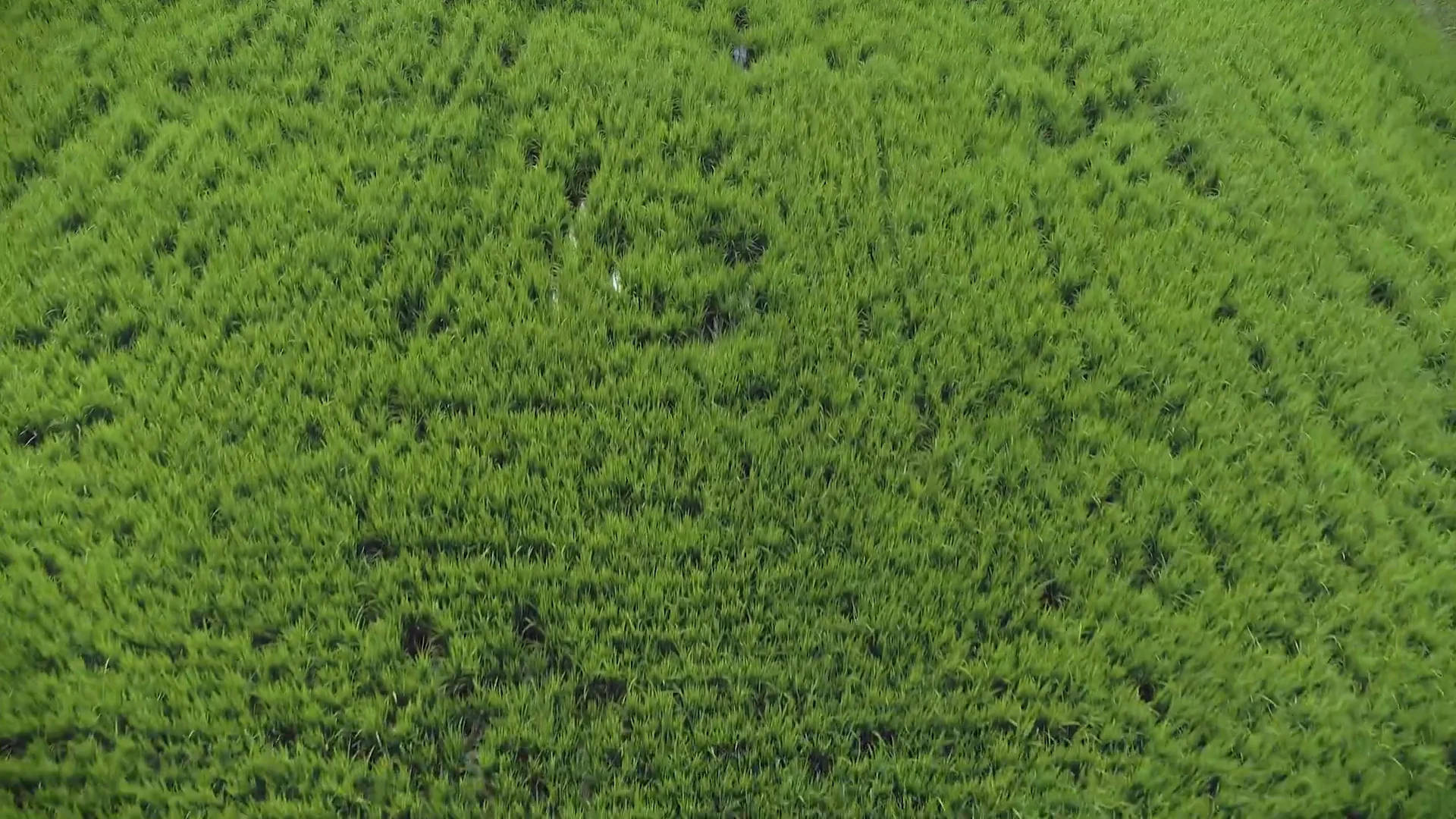
A farm team wants to monitor variability through the season. Ask what it wants to decide: where to scout first, which areas changed since the previous observation, or where to investigate an unexpected pattern. Those questions define the capture and review process more clearly than “we want NDVI.”
Settle the field boundaries, access and operating conditions. Then determine the pilot and capture configuration. Mavic 3M provides RGB and multispectral imagery, but a useful seasonal workflow also needs processing, consistent records and someone responsible for field interpretation.
The SpeedyDrone crop-scouting workflow connects capture, maps, ground checks, decisions and review. Use observed patterns to prioritize field investigation. A vegetation index cannot by itself distinguish disease, nutrient deficiency, moisture stress and other possible causes.
For repeat observations, record the date, relevant conditions, field stage and capture setup. Decide what comparisons are meaningful and what needs a ground visit. Retain the observations and interpretation with the map rather than passing around a coloured image without context.
Do not automatically add an application aircraft because a monitoring map shows variation. First confirm what the variation means, whether any intervention is appropriate and who is qualified to make that decision. An application task then needs its own configuration and operating checks. The imaging and application workflows can connect, but one does not automatically authorize or prescribe the other.
The useful deployment outcome is a repeatable information process: the team can obtain the intended imagery, process it, locate ground-check areas and review what changed. That is a more defensible starting point than promising a yield improvement before a crop question or verification method has been defined.
Plan the ground work and handover alongside the flying
Aircraft selection often gets the most attention, but batteries, charging, transport, material handling and access can determine whether the planned working day is practical. Inventory what the team already has and what the mission still needs.
For a field application, discuss the movement of people, material and equipment between working areas. For a mobile inspection team, discuss carrying, charging and secure data transfer. For an installed remote system, discuss maintenance access and local response. These are different ground-support problems.
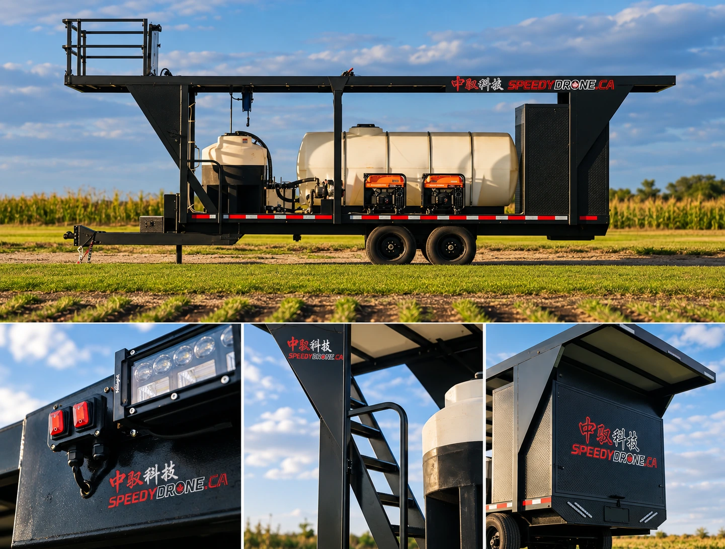
Agree what training and handover actually include. Product operation, the mission procedure, data handling and regulatory privileges should not be treated as interchangeable. Identify the tasks the team must demonstrate and how outstanding questions will be recorded.
SpeedyDrone's agricultural deployment service describes project-specific planning and configuration. Equipment, visits, training, third-party work and scheduling are confirmed for the agreed scope; a purchase or inquiry does not automatically book a site visit. Carry the same discipline into enterprise planning: ask what is included, what the customer supplies and who owns each remaining dependency.
Before requesting a quote, gather what you know
Use this as a conversation brief, not an eligibility test. You do not need every answer before contacting SpeedyDrone. Unknowns can become part of scoping, especially when the organization has not chosen an aircraft or operating model.
- Mission
- Describe the work and the decision it supports. Separate imaging, inspection, monitoring and application tasks rather than treating them as one request.
- Location
- Provide the site, field or asset location and the approximate operating footprint. Note access restrictions, nearby aviation activity and known site hazards. Share sensitive files through an agreed direct channel.
- Output
- State whether you need photographs, thermal records, an orthomosaic, point cloud, multispectral maps or a physical application result. Include required formats and acceptance criteria if known.
- Frequency
- Identify a one-off job, monthly or weekly capture, seasonal monitoring or recurring remote task. Note how often the operating area changes.
- Existing equipment
- List aircraft, controllers, batteries, charging, software, transport and ground-support resources. State what is owned versus only being considered.
- People
- Identify the project owner, proposed pilot, current qualifications and experience, output reviewer and any local support. Mark roles that still need to be assigned.
- Timeline
- Give the desired start and the decision deadline. Flag fixed dates and flexible windows; do not assume equipment delivery settles operational readiness.
The brief should make the next discussion more useful. It is acceptable to say “we have the site and output, but have not appointed a pilot.” That identifies a real dependency. It is less useful to assume a person or permission is covered because it has not yet been discussed.
Planning a drone deployment in Canada?
Tell SpeedyDrone what the operation needs to accomplish, where it will happen, your intended start date and decision deadline, what equipment and personnel you already have, and what output you need. We can use that context to discuss aircraft, payload, software, training and deployment requirements.
Enterprise InquiryFor field equipment and agricultural workflows: Agriculture Deployment Planning.
Configuration and service scope are confirmed for the project. SpeedyDrone equipment advice is not an aviation authorization, pesticide-use approval or guarantee of regulatory acceptance.
Frequently asked questions
Should an organization check airspace before buying a drone?
Yes, check the proposed site during project scoping. Airspace can affect the pilot, aircraft requirements, coordination and schedule. That early screen is not a flight authorization or the responsible pilot's pre-operation site survey. It helps avoid finalizing equipment and dates around an operation that has not yet been assessed.
Does controlled airspace mean we cannot deploy a professional drone?
Not automatically. The answer depends on the proposed operation, pilot privileges, aircraft safety requirements and authorization. For applicable Advanced operations, controlled-airspace flying requires permission from air traffic control. Other restrictions or authorities may also matter. Confirm the specific operation rather than treating a controlled-airspace label as either an automatic prohibition or automatic permission.
Is an Advanced drone pilot certificate enough for every enterprise mission?
No. Certificate privileges must match the operation, and the pilot also needs practical competence in the equipment and workflow. Specified lower-risk BVLOS operations use the Level 1 Complex framework and require operation under an RPOC, suitable aircraft and additional conditions. Other operations can require an SFOC-RPAS. An enterprise product name does not establish which route applies.
Does a green NAV Drone result cover every permission?
No. NAV Drone addresses its validation and NAV CANADA permission process; other authorities and ground-access permissions are separate. Review the result, the operation's conditions and any required direct coordination. Do not treat a positive result as permission from every organization responsible for the site.
Can DJI Dock 3 automatically make a Canadian BVLOS deployment legal?
No. Dock 3 is equipment for a remote-operation workflow, not a BVLOS authorization. Assess the proposed flight method, site, aircraft configuration, personnel and applicable regulatory pathway. Also plan power, connectivity, maintenance and local recovery. Buying automation does not remove operational accountability or supply every approval.
Do farm operations automatically qualify as Basic operations?
No. Agricultural purpose alone does not determine the operation category. Consider the configured aircraft's operating weight, safety features, flight method, people and location. An imaging flight and a loaded application flight can have different requirements even on the same farm. Record the configuration and task before selecting the operating framework.
Does aviation permission also permit pesticide application?
No. Pesticide use has separate requirements. Health Canada's SPN2026-02 allows eligible registered aerial-use products to be applied by RPAS subject to the policy and label; it is not permission to apply any product to any crop. Verify the exact use and applicable provincial or territorial requirements separately from flight permissions.
Do multispectral maps identify crop disease or prescribe treatment?
Not on their own. RGB and multispectral imagery can show patterns and help prioritize ground checks. A vegetation index does not establish the cause of variation. Use field observations and qualified agronomic interpretation before deciding whether an intervention is appropriate. An application task then needs its own equipment and operating plan.
Should we choose software before or after choosing the aircraft?
Define the required output first, then check the capture and software workflow together. The receiving team's formats, processing needs, access and records can influence the configuration. A drone that captures useful imagery is not a complete solution if the team cannot process, verify or use the result. Remote-operation software and flight permissions also remain separate.
Can we contact SpeedyDrone before we know the exact model or pilot requirements?
Yes. Share the mission, location, desired output, frequency, existing equipment, people and timeline, and mark what remains unknown. That context supports a configuration discussion. Enterprise teams can use Enterprise Inquiry; agricultural teams can use Agriculture Deployment Planning. Scope, services and scheduling are agreed for the project rather than assumed from an initial request.
Sources and scope
Checked 6 October 2026. This is a deployment-planning resource, not a site-specific legal opinion or permission to fly. Current official requirements and the responsible authorities govern each operation. Procurement suggestions and hypothetical examples are editorial planning guidance.
- Transport Canada: operation categories, Advanced and Level 1 Complex operations, and RPOC responsibilities, linked beside the relevant explanations.
- Canadian Aviation Regulations, section 901.27: site survey.
- NAV CANADA: NAV Drone operation planning and permission requests.
- Health Canada: SPN2026-02 pesticide application policy.
- AlteX droneHUB: supplementary pilot-oriented airspace explanation.
- Equipment roles checked against DJI product materials; offer identities and service scope checked against the linked SpeedyDrone pages. Manufacturer promotional photography does not establish Canadian operating eligibility.


