


Municipal GIS teams can use drones to collect current imagery and surface data for roads, parks, facilities and capital projects. To make that data useful, define the required output, coordinate reference, accuracy evidence and receiving system before flying, then process and validate the results before releasing them.
A drone photograph, an orthomosaic and an accepted GIS dataset are different deliverables. The municipality needs an agreed handoff: what the data represents, when it was collected, what it can support and who maintains it. That handoff connects the pilot's work to the GIS analyst, asset owner and project team.
For Municipal GIS, Public Works and geospatial teams. Technical and Canadian regulatory sources checked 6 October 2026.
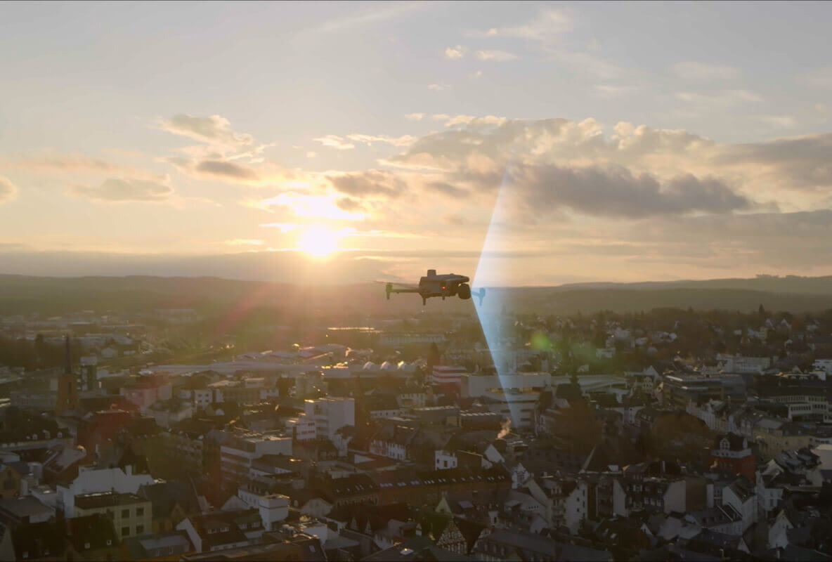
Explore this municipal GIS guide
Start With the GIS Question, Not the Drone
Begin with a decision someone already needs to make. Public Works might need to locate a changed section of a yard before sending a crew. Parks might need a dated overview of trail conditions. Engineering might need a specified surface dataset for a qualified professional's review. These requests have different capture methods and acceptance requirements.
Write the question with the person receiving the result: “Which areas changed since the previous inspection, and which asset records should staff review?” Then name the site, output, intended use, deadline and owner. “Fly the drone and send us the files” leaves the GIS team to resolve those decisions after collection.
Use the first project to test a complete handoff. A small, representative dataset that opens correctly in the municipal environment reveals more about readiness than a large model viewed only on the vendor's workstation. For the wider operating framework, see SpeedyDrone's municipal drone program guide.
Drone Photos vs Maps vs GIS-Ready Data
“Drone imagery” can mean a visual record, a reconstructed map or a dataset suitable for a defined GIS task. State which one is required. A file can be georeferenced and still lack the metadata, quality evidence or attributes needed for municipal use.
| Need | Typical output | What the receiving team needs |
|---|---|---|
| Visual documentation | Geotagged photos or video | Capture date, site/asset reference, viewpoint and purpose. Camera location alone does not locate every object in a photograph. |
| Mapping | Orthomosaic, digital surface model (DSM), point cloud or 3D model | Coverage, resolution, spatial reference, processing record and stated limitations. |
| Operational GIS integration | Accepted georeferenced raster/cloud and, where needed, reviewed vector features | Agreed format, CRS, metadata, quality status, asset identifiers and storage/publishing owner. |
| Survey or engineering reliance | A deliverable defined by the responsible professional and project specification | Accuracy plan, control/check evidence, applicable standards and professional review where required. |
An orthomosaic is a geographically positioned image mosaic; it is not automatically an asset inventory. A point cloud records sampled three-dimensional positions; it is not automatically a classified terrain product. A textured model can communicate site context without being suitable for a contract measurement.
GIS-ready means ready for an agreed use and handoff. It does not mean every department can rely on the dataset for every purpose. The delivery specification should make that distinction visible.
Where Municipalities Can Use Drone Data
Choose a few repeatable tasks with a clear receiving team. These six application groups are scoping examples, not claims that aerial capture replaces the municipality's existing inspections or field measurements.
Roads & Public Works
Dated imagery can provide intersection context, construction progress and a shared view of works yards or roadway surroundings. GIS staff can link observations to a road segment or project record. Ground inspection still matters for conditions that imagery cannot reveal or resolve; a visible road surface alone does not establish pavement structure or buried services.
Parks & Land Management
Repeat imagery can support park inventory review, trail context, shoreline documentation and site planning. An annual visual overview may need photographs or an orthomosaic rather than LiDAR. Tree cover, seasonal foliage and inaccessible ground can change what is visible, so record these limitations alongside each capture.
Stormwater & Drainage
Drone observations can help staff locate ditch conditions, culvert surroundings, apparent surface-water pathways and post-storm changes. They can guide field follow-up. RGB imagery alone cannot establish culvert capacity, subsurface conditions or a certified drainage design. Elevation-dependent work needs an appropriate surface product and professional interpretation.
Municipal Facilities
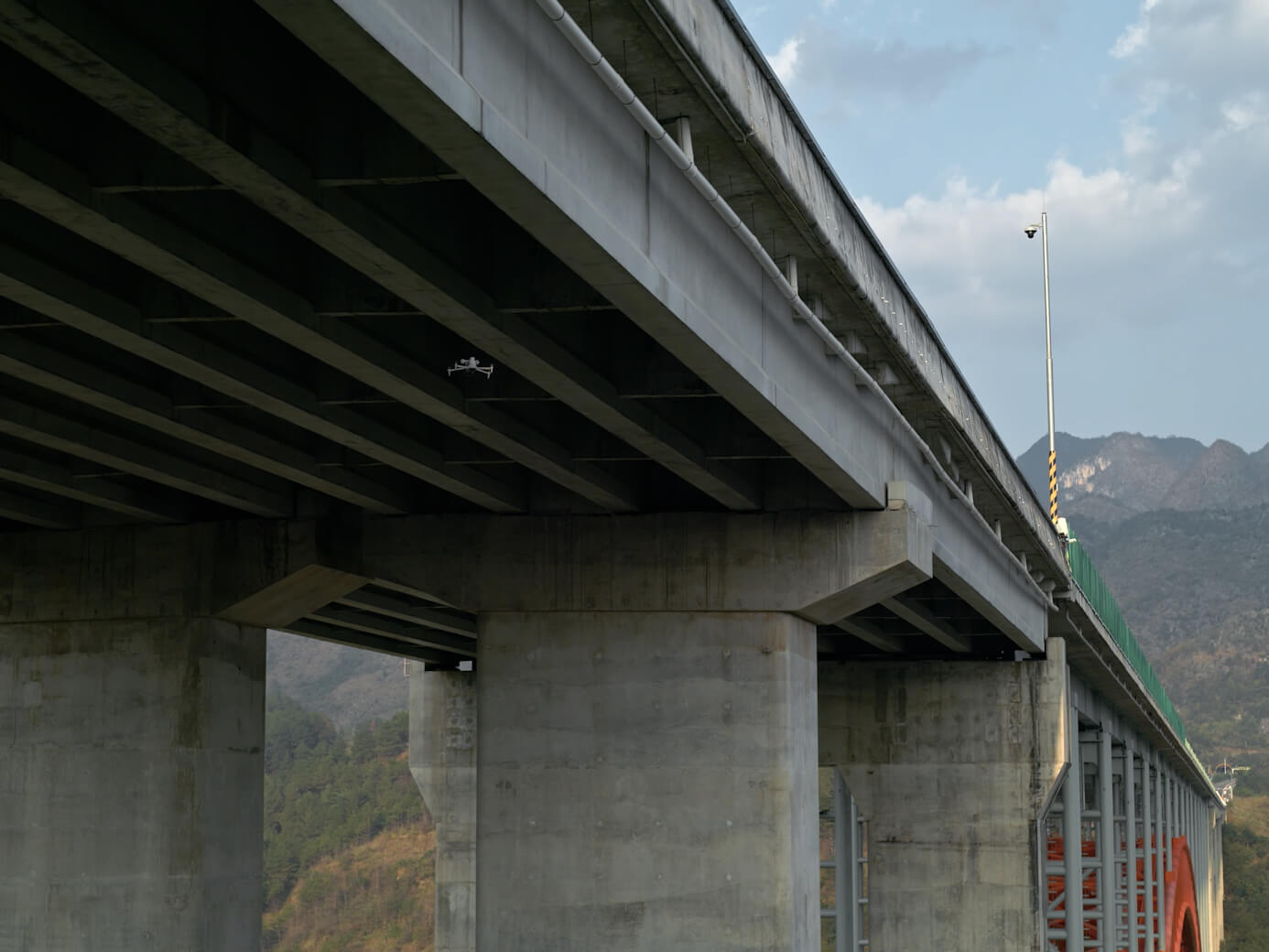
Roof, façade, yard and solar-installation documentation may call for visible-light inspection, thermal capture or both. Keep each observation attached to the building or asset identifier, capture conditions and reviewer. A thermal anomaly is a reason for appropriate investigation, not a diagnosis supplied by the GIS layer.
Construction & Capital Projects
Orthomosaics and models can give project staff consistent spatial context across reporting dates. Agree the project extent and reporting outputs with the contractor and municipal owner. SpeedyDrone's construction progress monitoring guide covers the project-reporting workflow in more detail.
Emergency & Post-Event Documentation
Flooding, storm damage and infrastructure disruption may require rapidly shared, dated observations. Label preliminary imagery clearly and retain incident/site references. An emergency map and a later validated GIS release may have different purposes. See the wildfire and incident-support resource for that operating context.
From Flight to GIS Layer: The Complete Workflow
Work backwards from the receiving system, then carry a consistent delivery specification through each stage. The sequence below is a practical planning model. Acceptance criteria belong to the municipality and, where relevant, the responsible professional.
- Define the questionAsset, decision, recipient
- Specify the outputFormat, CRS, quality, use
- Plan and captureCoverage, conditions, control
- Process the dataReconstruct, classify, export
- Validate the deliveryAccuracy, completeness, metadata
- Release into the workflowGIS layer, asset or project record
Define and specify
Identify the municipal question and translate it into a deliverable. “Compare the park this quarter” may require dated orthomosaics with a consistent extent. “Assess ground elevation beneath vegetation” raises a different sensor, classification and validation question. Specify resolution, quality evidence, permitted use and destination before approving the capture plan.
Plan and capture
Choose coverage, image geometry, overlap, timing and positioning/control arrangements around that output. Include a field completeness check while the team can still recollect missing areas. Review the actual site, airspace, access, weather, people and operating requirements with the responsible pilot; a GIS specification does not authorize the flight.
Process and validate
Preserve the raw source and record software/version, processing settings, coordinate transformations and relevant exclusions. Validate both the geospatial result and the delivery package. A reconstruction completing without an error message is not proof that a shaded area, bridge edge or ground surface has been represented correctly.
Release and record
The GIS owner accepts the version, stores or publishes it through the approved municipal route and links it to the right site, asset or project. Record who approved it and what it may support. Keep preliminary, rejected and accepted outputs distinguishable so staff can find the current dataset without relying on email history.
Choose the Aircraft and Sensor Around the Output
Start with the data requirement. Portable RGB mapping, thermal inspection and specialist terrain work call for different configurations. Aircraft size alone does not tell the GIS team whether the output will be suitable.
DJI Matrice 4E
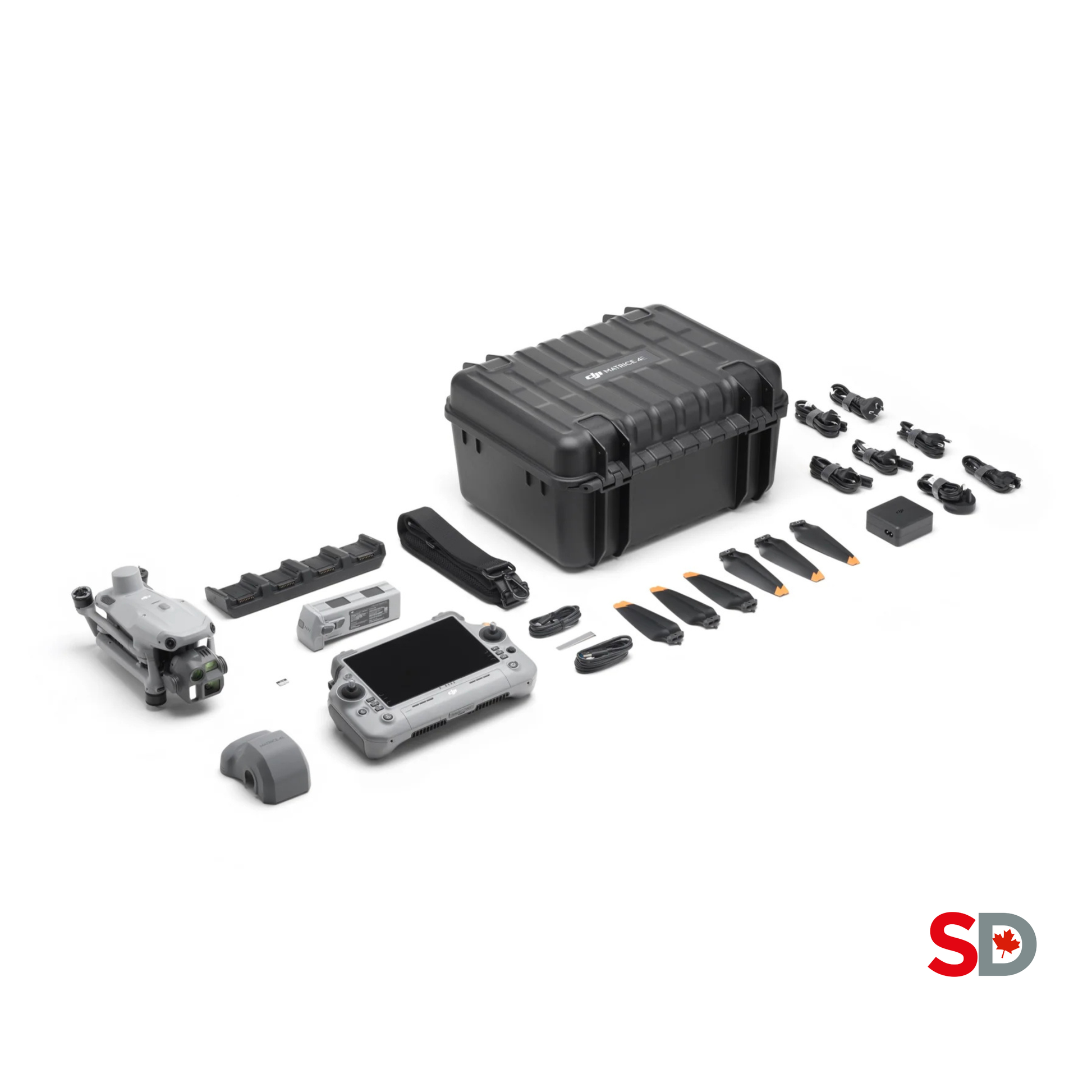
View Matrice 4E configurationIts 4/3-inch 20 MP wide-angle camera and mechanical shutter make it a candidate for portable photogrammetry. Consider it for municipal orthomosaics and repeat site documentation when the capture and validation plan fit the required result.
DJI Matrice 4T
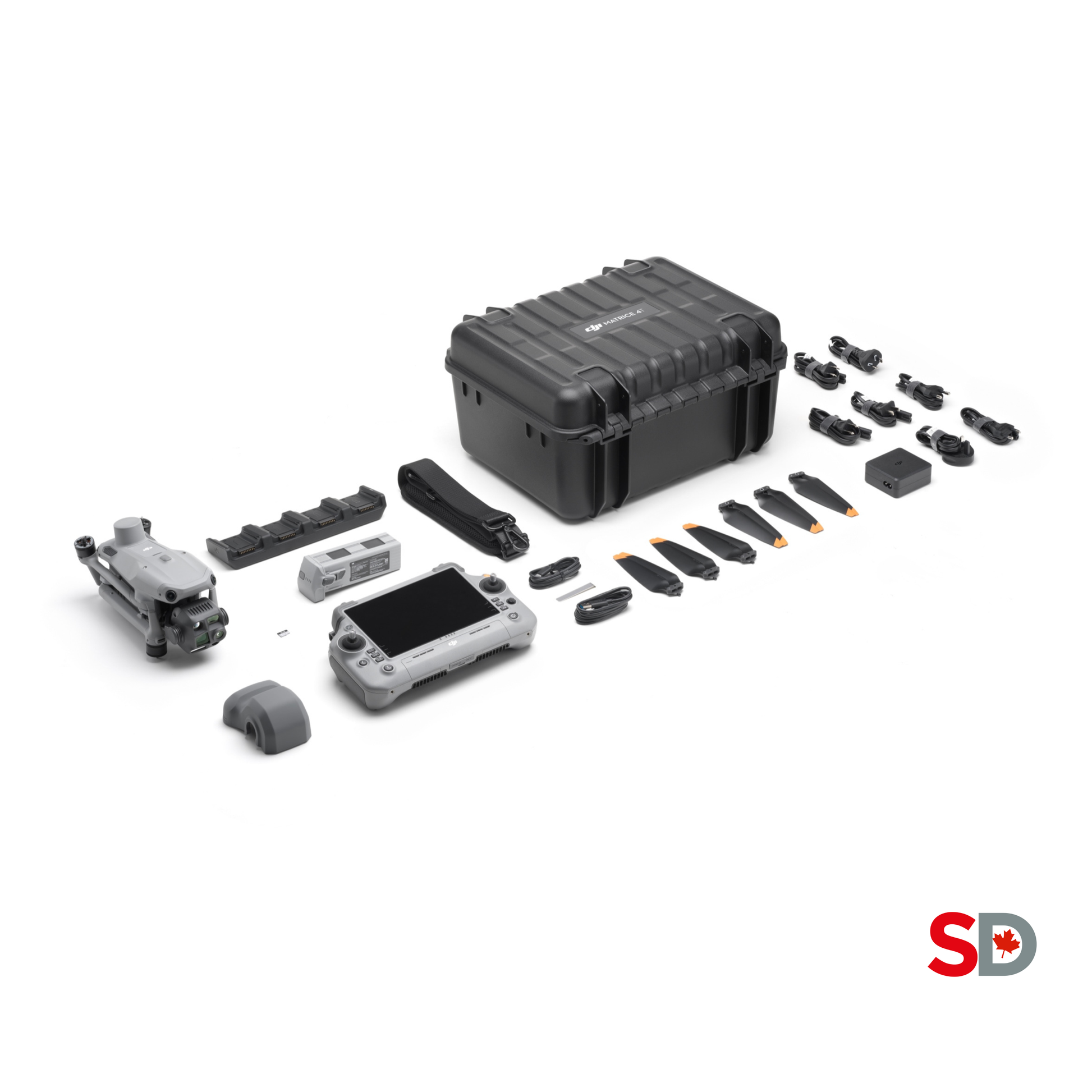
View Matrice 4T configurationVisible-light and thermal imaging suit a different question: documenting facilities or inspection observations. DJI cautions that RTK on 4T does not guarantee final precision. Do not treat it as a precision-mapping substitute simply because both aircraft serve municipal teams.
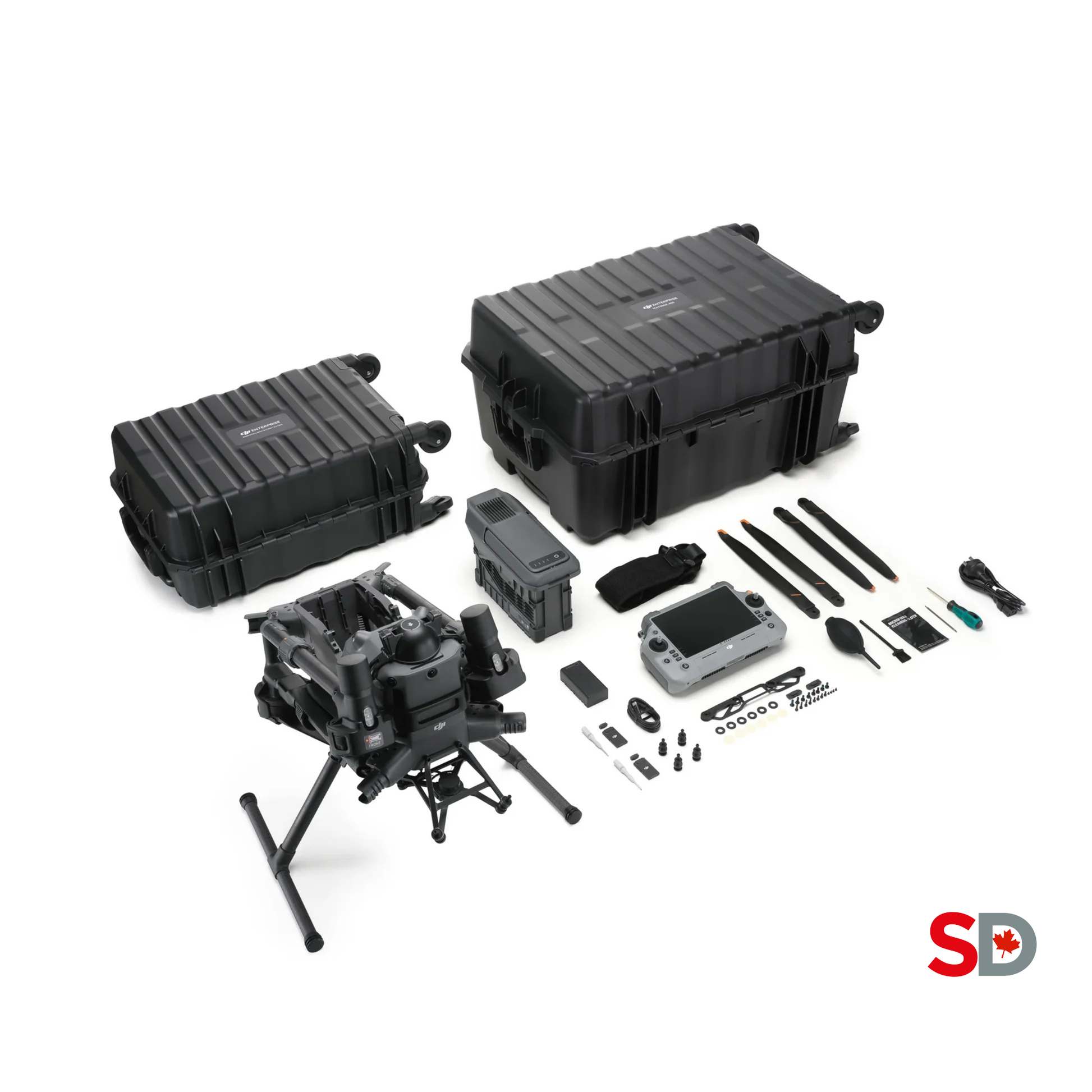
DJI Matrice 400 SP Plus Full Package
View Matrice 400 Full PackageA configurable aircraft platform for specialist payload work. Evaluate the complete aircraft, payload, connector, firmware and processing combination. The aircraft package and the selected mapping payload are separate procurement items; request an explicit configuration.

Zenmuse L3 LiDAR
View Zenmuse L3 optionsDJI lists Zenmuse L3 for Matrice 400, with the Zenmuse L3 single gimbal connector required. Consider LiDAR when the required point-cloud or terrain product justifies it. Ground-return availability, classification and independent validation still determine whether the resulting terrain representation is useful.
DJI's Matrice 4 FAQ and L3 compatibility documentation define the relevant capability boundaries. Adding RTK does not eliminate the need for a project accuracy plan. Adding LiDAR does not guarantee bare-earth coverage beneath all vegetation.
If ordinary dated site imagery answers the question, a larger LiDAR system may add cost and processing obligations without improving the decision. For broader platform selection, use the surveying and mapping solutions hub and surveying drone guide.
Processing, Coordinate Systems & QA
Processing converts observations into a data product; QA establishes whether that product meets its intended use. DJI Terra supports relevant reconstruction workflows, with its official FAQ describing GeoTIFF orthophoto/DSM and point-cloud exports. Confirm the licence, version and proposed output rather than assuming every workflow is included.
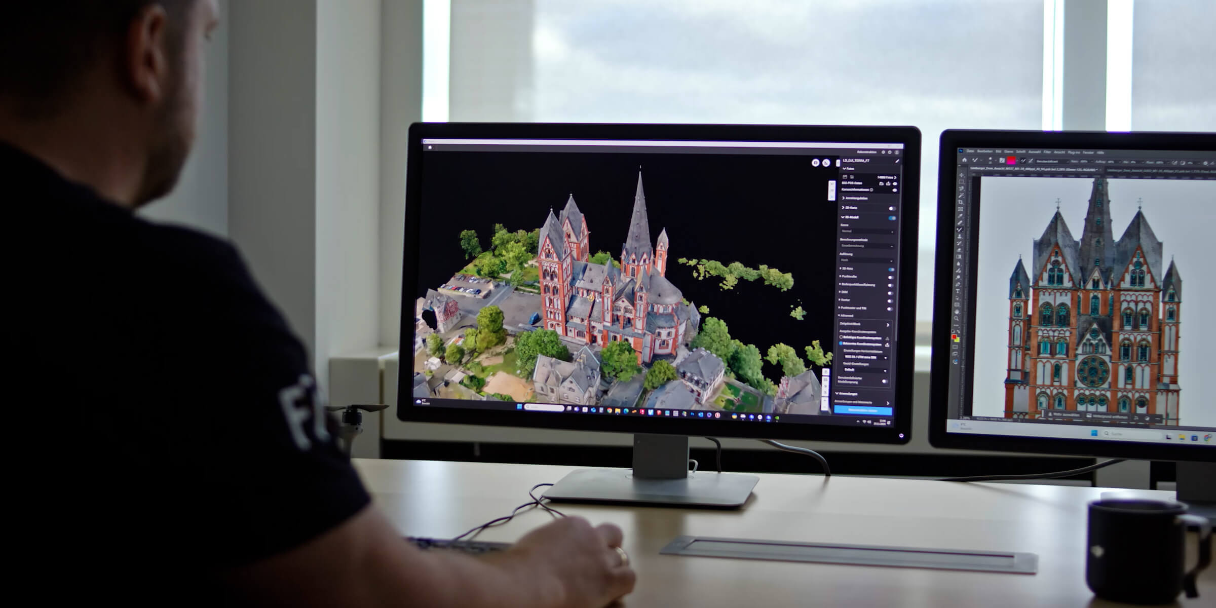
Agree horizontal and vertical references
Ask the GIS owner for the target coordinate reference system (CRS), datum realization where relevant, units and transformation requirements. “UTM” alone does not specify the full reference. For height-dependent work, also name the vertical datum and geoid model, and confirm whether source heights are ellipsoidal or orthometric.
Natural Resources Canada identifies CGVD2013 as Canada's height reference. An existing municipal engineering dataset may use a legacy or project-specific reference. Resolve that relationship explicitly; do not change a coordinate-system label to make misaligned data appear compatible.
Separate resolution from measured accuracy
Ground sampling distance (GSD) describes image sampling on the ground. It does not establish absolute positional accuracy. RTK status, camera geometry, processing and ground evidence all affect the delivered result. Use independently assessed checkpoints when the accuracy specification requires them; points used to adjust the model serve a different role from points reserved to test it.
Check the surface and the gaps
A DSM represents surface elevations, including visible structures or vegetation. A digital terrain model (DTM) aims to represent ground and needs a suitable extraction and validation method. Inspect water, reflective surfaces, shadows, vegetation, moving objects and missing coverage. Record areas where the output cannot support the intended interpretation rather than smoothing away uncertainty.
| Record | Include | Acceptance question |
|---|---|---|
| Identity | Site/project ID, capture date/time and timezone, mission ID, output version | Can staff connect this dataset to the right job and reporting date? |
| Spatial reference | Horizontal CRS, units, vertical reference where applicable, transformations | Does it align correctly with the municipality's reference data? |
| Quality | Resolution, completeness, control/check method, results against agreed thresholds | Is the evidence sufficient for the stated use? |
| Limitations | Occlusions, uncertain surfaces, exclusions and permitted use | Could a receiving department overinterpret the result? |
| Stewardship | Processing record, accepted version, owner, storage location and review status | Who maintains or replaces this release? |
Make thresholds part of the brief, not an after-the-fact judgement based on how sharp the image looks. If a result fails, document whether reprocessing, additional ground evidence or recollection is needed. Software selection can then be evaluated against the actual job; the mapping software comparison covers that separate decision.
How Drone Data Enters GIS, CAD and Asset Systems
Integration has two parts: the receiving software must read the dataset correctly, and the municipality must connect it to a managed record. Test both. A file opening successfully does not establish its quality or the completeness of an asset-management handoff.
An orthomosaic may become a raster layer or imagery service. A point cloud may support a separately reviewed surface or three-dimensional analysis. Updating an asset inventory usually requires an additional step: staff interpret observations, create or revise vector features, assign existing asset IDs and validate attributes. Those edits should follow the receiving system's rules.
For CAD, confirm units, reference and the required geometry/surface deliverable with the project recipient. For a work order, retain the asset/project reference, observation, date and approved evidence link. Avoid asking operational staff to open an entire raw model when the decision needs a clear, traceable observation.
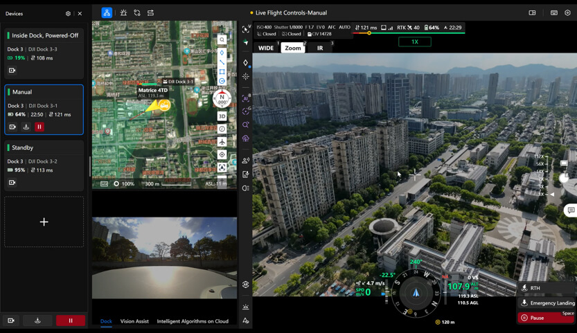
Use FlightHub 2 for repeatable collection and handoff
FlightHub 2 can organize routes, projects and collected outputs. Current FlightHub Sync documentation describes file synchronization and OpenAPI-based annotation exchange. These are integration building blocks: the receiving GIS, storage and asset application still need their own mapping, permissions, acceptance and publication steps.
For a pilot, demonstrate one accepted dataset arriving in the intended municipal destination with its date, version, spatial reference and asset/project link intact. Test failed transfers and duplicate deliveries as well. Keep a manual handoff available while the connection is being validated.
File synchronization also needs a retention decision. DJI documents an option to delete source files after synchronization that can affect dependent FlightHub functions and cannot be undone. Have the records owner validate retention and recovery before enabling it. See SpeedyDrone's current FlightHub Sync guide and FlightHub 2 operations guide for the platform details.
Don't Create Another Data Silo
Agree the authoritative storage and record owner before the first capture. Raw imagery on a pilot's drive, a processed map on a laptop and an emailed screenshot are useful working copies; staff also need a clearly identified accepted version. A drone platform can support collection without becoming the municipality's system of record.
Assign responsibilities for raw-data custody, processing, acceptance, layer maintenance, access and retention. Record who owns contracted outputs and what reuse rights the municipality receives. Define naming and version rules so a new capture does not silently overwrite the previous reporting period.
Bring IT and records/privacy staff into the workflow early. They should determine approved storage, access controls, vendor/cloud review and the applicable retention and privacy requirements for the municipality. Collect only what the task requires and decide how public-facing extracts differ from internal working data. These are governance recommendations, not a single retention period or legal rule for every Canadian municipality.
Build Repeatable Data Collection
Repeatability makes a dataset easier to compare and maintain. Preserve the site extent, spatial reference, naming, output type and acceptance method across captures. Keep a record of aircraft/sensor changes, processing versions and revised methods; a change can be appropriate without being invisible.
For a hypothetical quarterly park-monitoring project, the GIS team might define the same capture boundary, target resolution, seasonal intent and review process for each release. Record foliage, snow, lighting and water conditions. A difference between two images may reflect capture conditions rather than a physical change requiring a work order.
Review comparable coverage and alignment before interpreting change. If accuracy differs between releases, include that uncertainty in the decision. A consistent, adequately validated municipal dataset can be more useful operationally than a one-off model whose method cannot be reproduced.
When Does Dock Automation Make Sense?
A dock becomes worth evaluating when a fixed site needs frequent, standardized capture and the municipality can support the installation and operating model. Annual park mapping may be served by a mobile team. Weekly monitoring at a recurring project or facility can justify a more detailed feasibility assessment.
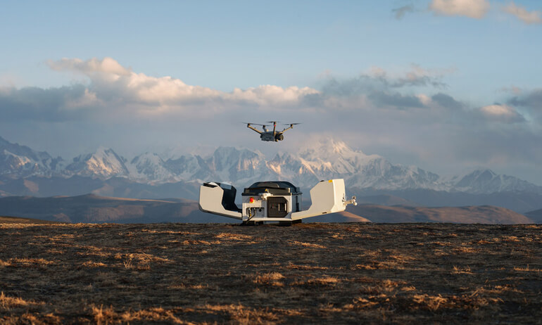
DJI Dock 3 uses the Matrice 4D series, according to DJI's compatibility FAQ. The portable Matrice 4E and 4T discussed above are a different aircraft family. Specify the dock-compatible aircraft configuration around the required output.
Assess installation access, power, connectivity, weather limits, maintenance, mission coverage and human oversight. Include GIS processing and acceptance workload in the operating cost. Frequent collection creates value only when someone can use and maintain the resulting data.
Canadian flight requirements depend on the actual operation. Transport Canada's expanded operating pathways and operation-specific aircraft safety assurance must be considered with the pilot and operator. A dock does not itself grant BVLOS or remote-operation authority, and an urban municipal site cannot be assumed to qualify for a lower-risk pathway.
Training the Internal Team
Build capability on both sides of the handoff. Pilots need the training and authority appropriate to the operation, plus capture discipline and field QA. GIS staff need to interpret processing outputs, spatial references, metadata and quality reports. Asset owners need to understand the permitted use and the observations that require professional follow-up.
For introductory technical education, teams can reference AlteX droneHUB's Intro to Drone Survey and Geomatics. Its course description covers collection, integration and management of geomatics data with drones. SpeedyDrone also lists the introductory survey and geomatics course.
An introductory course is a starting point. Pilot certification, professional survey/engineering responsibility and competency to deliver an accepted municipal dataset are separate questions. Train the team against a sample project: capture, process, review and hand the result to another staff member without relying on undocumented instructions.
GIS-Ready Does Not Mean Legal Survey
Georeferenced imagery, point clouds and derived measurements can support municipal work. Their availability does not make them legally authoritative cadastral data, a certified engineering deliverable or automatically acceptable contract payment quantities. Define the reliance before capture, including who specifies, reviews and takes responsibility for the result.
In Ontario, the Association of Ontario Land Surveyors states that practising cadastral, or legal-boundary, surveying requires its licence. A fence, curb or visible occupation line in aerial imagery does not independently establish the legal parcel boundary. In other provinces, involve the relevant licensed professional and regulator for that jurisdiction.
Where the work involves engineering responsibility, involve the appropriately licensed professional; Professional Engineers Ontario distinguishes individual professional licensure from authorization to provide engineering services to the public. For regulatory submissions or contract quantities, confirm the governing specification and acceptance procedure. Municipal operational GIS and professional reliance may share source data while requiring different review and accountability.
Municipal Drone Program Maturity Model
Use these five stages as a planning aid, not a certification standard. Move forward when the current handoff works reliably. A municipality can have a mature GIS workflow with mobile capture and no dock.
-
Stage 1
Ad Hoc Capture
Occasional photos support individual requests. Next priority: record the site, date, purpose and owner so another person can find and interpret them.
-
Stage 2
Structured Mapping
Repeat routes and defined mapping outputs replace loosely specified flights. Next priority: documented processing, quality checks and a receiving-system acceptance test.
-
Stage 3
GIS Integration
CRS, metadata, storage, versions and layer ownership are defined. Next priority: demonstrate that accepted releases can be maintained by the municipal team.
-
Stage 4
Multi-Department Workflow
Public Works, Parks, Planning, Engineering and emergency staff share appropriately controlled outputs. Next priority: clarify different permitted uses and who authorizes record changes.
-
Stage 5
Automated or Recurring Collection
Selected sites may justify dock operations, scheduled capture or integrations. Next priority: validate exceptions, maintenance, retention and human oversight before expanding.
Procurement Checklist
Copy these questions into a scoping brief for procurement, GIS and the operating team. Ask vendors to demonstrate the required delivery in your environment. Evaluate the people, software, storage and acceptance work alongside the aircraft.
- Use case
- Which site or asset? What municipal question will the data answer, and who will act on it?
- Output
- Photos, orthomosaic, surface model, point cloud, thermal record or reviewed asset features? Which file/service formats and attributes must be delivered?
- Accuracy and reliance
- Visual context, operational GIS or professional measurement? Who sets thresholds, control/check requirements and permitted use?
- Frequency
- One-time, quarterly, monthly or frequent recurring capture? What makes consecutive datasets comparable, and what happens after a missed capture?
- Existing systems
- Which GIS, CAD, asset and work-order environments? What CRS, IDs, storage and publication route do they require?
- Team
- Who pilots, processes, validates and accepts the result? Which GIS, survey/engineering, IT, records and procurement staff must participate?
- Data governance
- Who owns raw and processed data? What access, vendor review, retention, privacy, backup and version rules apply?
- Equipment and operating cost
- Can existing aircraft meet the output? What positioning/control, payload, software, workstation, training, maintenance and processing capacity are required?
Make the acceptance test concrete: a representative capture must arrive in the receiving system with correct spatial reference, complete metadata, documented quality and the right asset/project link.
Municipal Drone GIS: Frequently Asked Questions
Can we use existing municipal GIS data with drone imagery?
Yes, when the spatial reference, units, coverage and intended use are compatible. Compare the new output with suitable reference data and document any required transformation. Existing layers can have their own dates, accuracy limits and legacy datums, so disagreement does not automatically prove either dataset is wrong. Test a small delivery with the GIS owner, retain the capture and processing metadata, and define which dataset is authoritative for each task before updating operational records.
Do we need LiDAR for a municipal drone program?
Only when the required data product justifies it. Dated visual documentation and many orthomosaic tasks can use RGB capture. Terrain work under vegetation or a specialist point-cloud requirement may warrant LiDAR evaluation, including ground-return coverage, classification and validation. Define the question and acceptance specification first. A larger sensor purchase does not resolve an unclear deliverable, and the municipality still needs people and software to process, interpret and maintain the data.
Does RTK make drone data survey-grade?
RTK can support precise positioning, but it does not certify the final map or surface. Camera geometry, capture conditions, processing, reference systems and ground evidence remain part of the accuracy plan. The term “survey-grade” should not substitute for a measurable project specification. Ask for the required horizontal and vertical accuracy, the independent validation method and the permitted reliance. Cadastral or engineering use also brings professional requirements that a positioning feature cannot satisfy by itself.
Can an orthomosaic automatically update our asset inventory?
An orthomosaic supplies image context. Updating an inventory normally requires identifying the relevant features, connecting them to asset IDs, checking attributes and approving edits under the municipality's workflow. That interpretation may be manual or supported by a separately validated process. Importing the image alone does not establish asset condition, ownership or a complete record. Define the required feature schema and review responsibility before treating an imagery delivery as an inventory update.
What should we ask a drone contractor to deliver?
Ask for an output specification tied to the municipal question: format, coverage, spatial reference, resolution, accuracy evidence, date/mission identity and limitations. Include ownership, reuse rights, raw-data retention and the destination for accepted outputs. Where the work supports professional or contractual reliance, have the responsible recipient define the requirements. Request a representative sample early and test it in the actual GIS or project environment, including any asset IDs and metadata needed for acceptance.
Is FlightHub Sync a direct connector to every GIS system?
No. Its documented synchronization and API functions are components of a handoff. The receiving storage, GIS publishing route, asset application and authentication still need a validated configuration. Check the current public-cloud or on-premises edition and documentation with IT and the integration owner. Require a demonstration that preserves metadata and version identity, handles failed or duplicate transfers and releases only accepted outputs. Keep a documented manual delivery route while the integration is being proven.
Should we start with a dock or a mobile mapping team?
Start with the operating model that fits the sites and frequency. A mobile team can support changing locations and occasional capture. A dock may warrant assessment for frequent work at a recurring site, provided installation, connectivity, maintenance, human oversight and flight requirements are addressed. Also check whether the GIS team can process and use the additional data. Automation should follow a proven output and acceptance workflow, rather than being the first substitute for defining one.
How should a municipality evaluate its first pilot project?
Evaluate the complete delivery, not only flight completion or model appearance. Confirm that the intended question can be answered, the output meets agreed quality limits, staff can load it in the receiving system, and the record includes metadata, permitted use and an accountable owner. Include repeat capture and a second staff member's ability to use the result. Record failures and remediation effort before deciding whether to expand to another site, department or automated workflow.
Sources and Further Reading
Manufacturer/software documentation supports capability statements; Canadian government and professional-regulator sources support the stated operating and professional boundaries. Municipal examples, the maturity model and checklist are editorial planning guidance.
- DJI Matrice 4 Series, L3 specifications, Terra FAQ and Dock 3 FAQ.
- Current FlightHub Sync introduction; Esri LAS coordinate-system documentation.
- NRCan spatial reference updates; Transport Canada operating changes.
- AOLS public protection; PEO professional responsibility; AlteX introductory geomatics course.
Plan a Municipal Drone & GIS Workflow with SpeedyDrone
Share the site or asset, required output, accuracy needs, capture frequency and existing GIS environment. SpeedyDrone can discuss aircraft, payload and processing-software options around that brief, including the field configuration and data-handoff questions that need to be scoped.
Bring your GIS or project lead into the discussion so the equipment proposal starts with the receiving team's requirements.
Enterprise Inquiry

